Related Images


Download:
| Tiny | 171x128 | View | Download |
| Small | 342x256 | View | Download |
| Medium | 685x512 | View | Download |
| Large | 1371x1024 | View | Download |
| Original | 21426x16000 | View | Download |
This image was acquired from
wikimedia. It was marked as Public Domain or CC0 and is free to use. To verify, go to the source and check the information there.
Looking for more info about this image?
Try a Google Reverse Image Search for it.
Try a Google Reverse Image Search for it.
Keywords from Image Description:
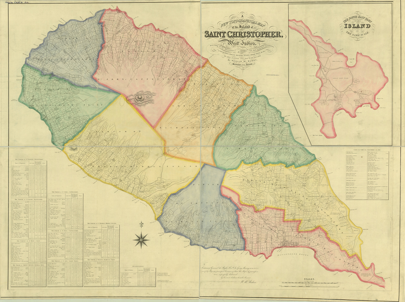
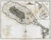
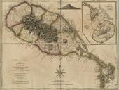
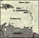
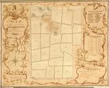
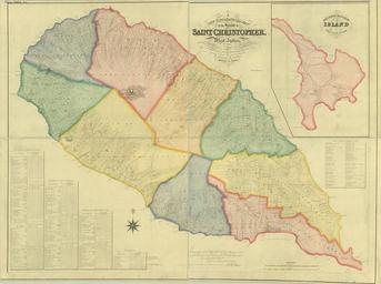
Saint Christopher topo map by William McMahon . InteractiveViewer en map of Saint Christopher island Caribbean with administrative subdivision into parishes lib uwm edu CISOROOT agdm CISOPTR action DMSCALE DMWIDTH DMHEIGHT lib uwm edu CISOROOT agdm CISOPTR action DMSCALE DMWIDTH DMHEIGHT DMX DMY DMTEXT DMROTATE better