
Related Images

Download:
| Tiny | 206x128 | View | Download |
| Small | 413x256 | View | Download |
| Medium | 826x512 | View | Download |
| Original png | 1653x1024 | View | Download |
| Original as jpg | 1653x1024 | View | Download |
This image was acquired from
wikimedia. It was marked as Public Domain or CC0 and is free to use. To verify, go to the source and check the information there.
Looking for more info about this image?
Try a Google Reverse Image Search for it.
Try a Google Reverse Image Search for it.
Keywords from Image Description:
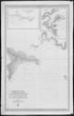
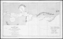
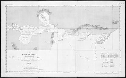
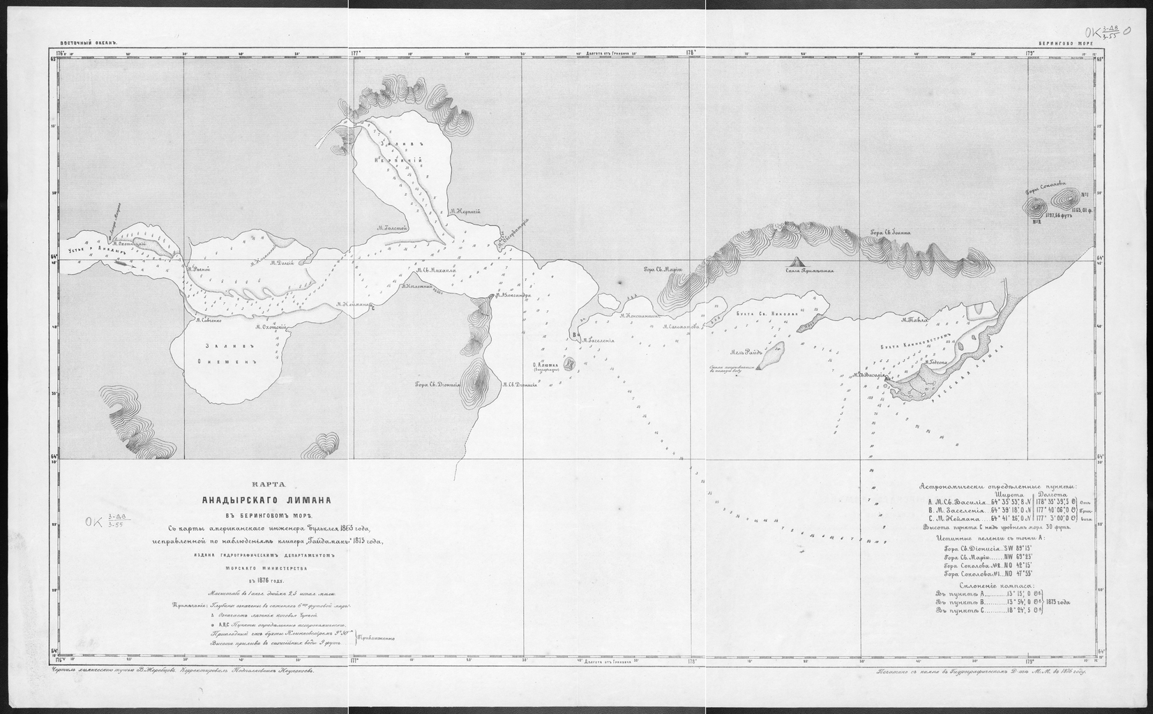
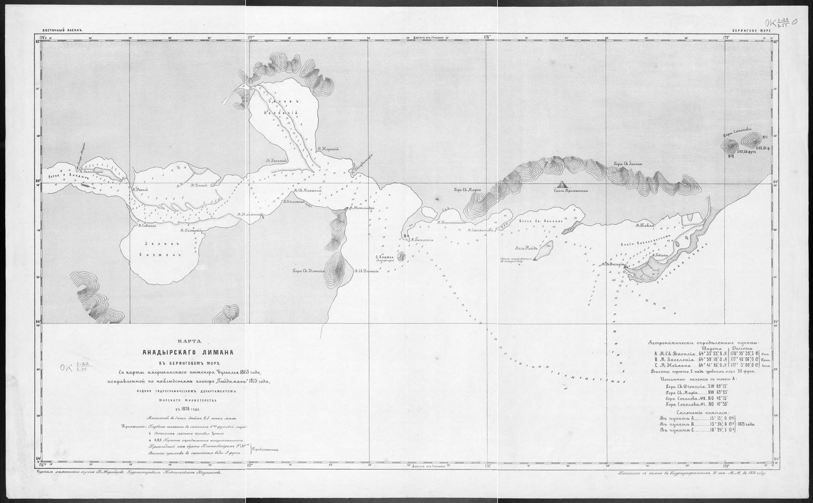
Map of the Anadyr Estuary in the Bering Sea From Map by the American Engineer Bulkley in and Corrected According to the Observations of the Clipper Gaidamak in WDL. Artwork ru fr Dpartement Hydrographique du Ministre de la Marine en Hydrographic Department of the Ministry of Marine zh pt Departamento Hidrogrfico do