
Related Images
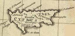
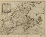
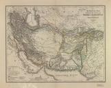
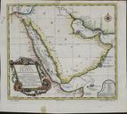
Download:
| Tiny | 96x128 | View | Download |
| Small | 193x256 | View | Download |
| Medium | 387x512 | View | Download |
| Large | 774x1024 | View | Download |
| Original png | 1024x1354 | View | Download |
| Original as jpg | 1024x1354 | View | Download |
This image was acquired from
wikimedia. It was marked as Public Domain or CC0 and is free to use. To verify, go to the source and check the information there.
Looking for more info about this image?
Try a Google Reverse Image Search for it.
Try a Google Reverse Image Search for it.
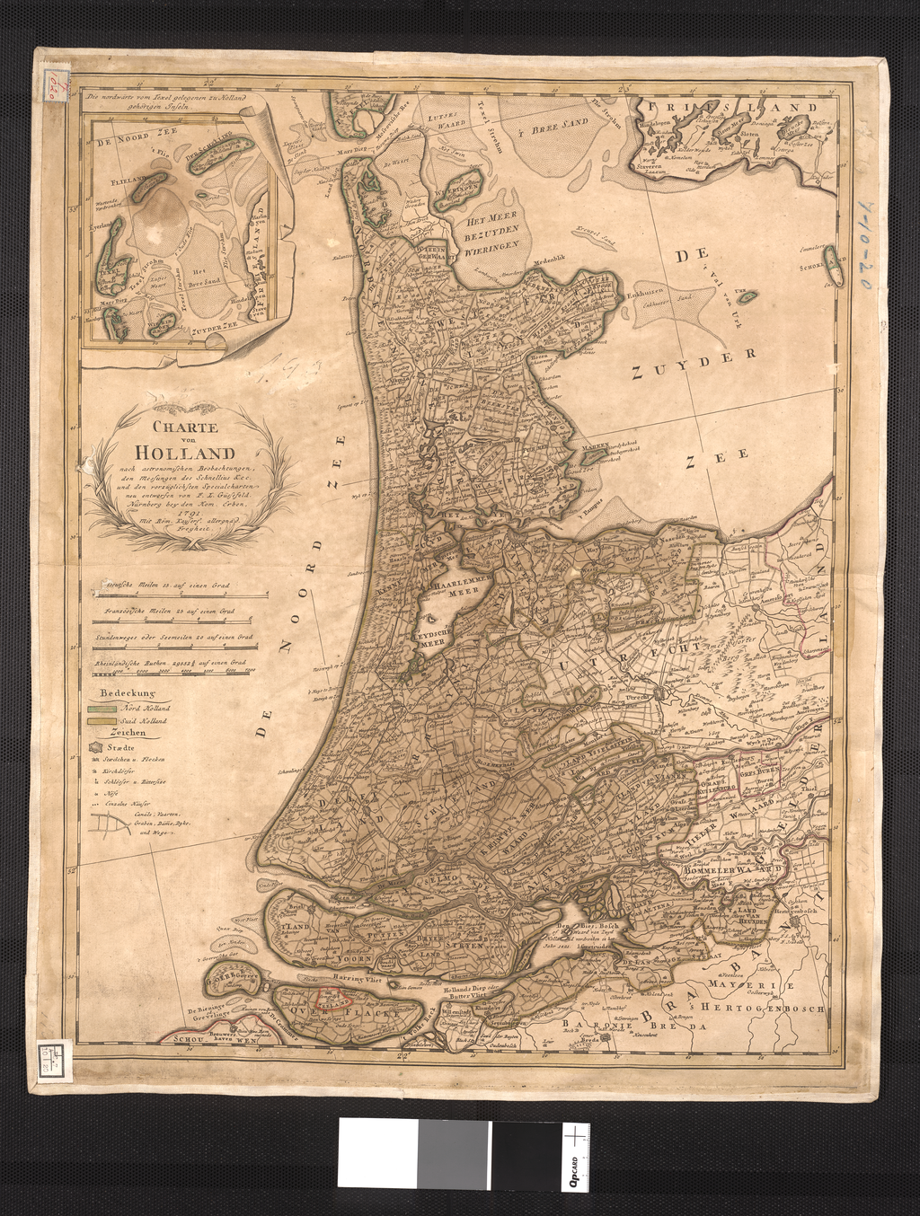
Keywords from Image Description:
Map of Holland According to Astronomical Observations Measurements of Schnellius c. and the Superiorly Redesigned Special Maps of F. L. Gssefeld WDL. Artwork ru fr Gssefeld Franz Ludwig en Gssefeld Franz Ludwig zh pt Gssefeld Franz Ludwig ar es Gssefeld Franz Ludwig ru fr Carte de Hollande