Related Images


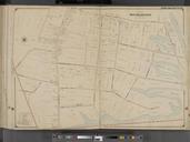


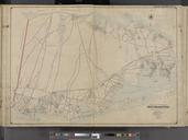


Download:
| Tiny | 106x128 | View | Download |
| Small | 213x256 | View | Download |
| Medium | 426x512 | View | Download |
| Large | 853x1024 | View | Download |
| Original tiff | 5248x6299 | View | Download |
| Original as jpg | 5248x6299 | View | Download |
This image was acquired from
wikimedia. It was marked as Public Domain or CC0 and is free to use. To verify, go to the source and check the information there.
Looking for more info about this image?
Try a Google Reverse Image Search for it.
Try a Google Reverse Image Search for it.
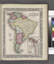
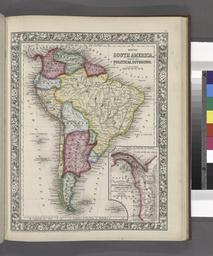
Keywords from Image Description:
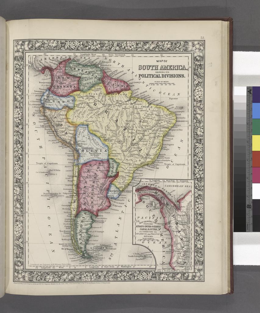
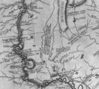
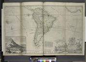
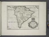
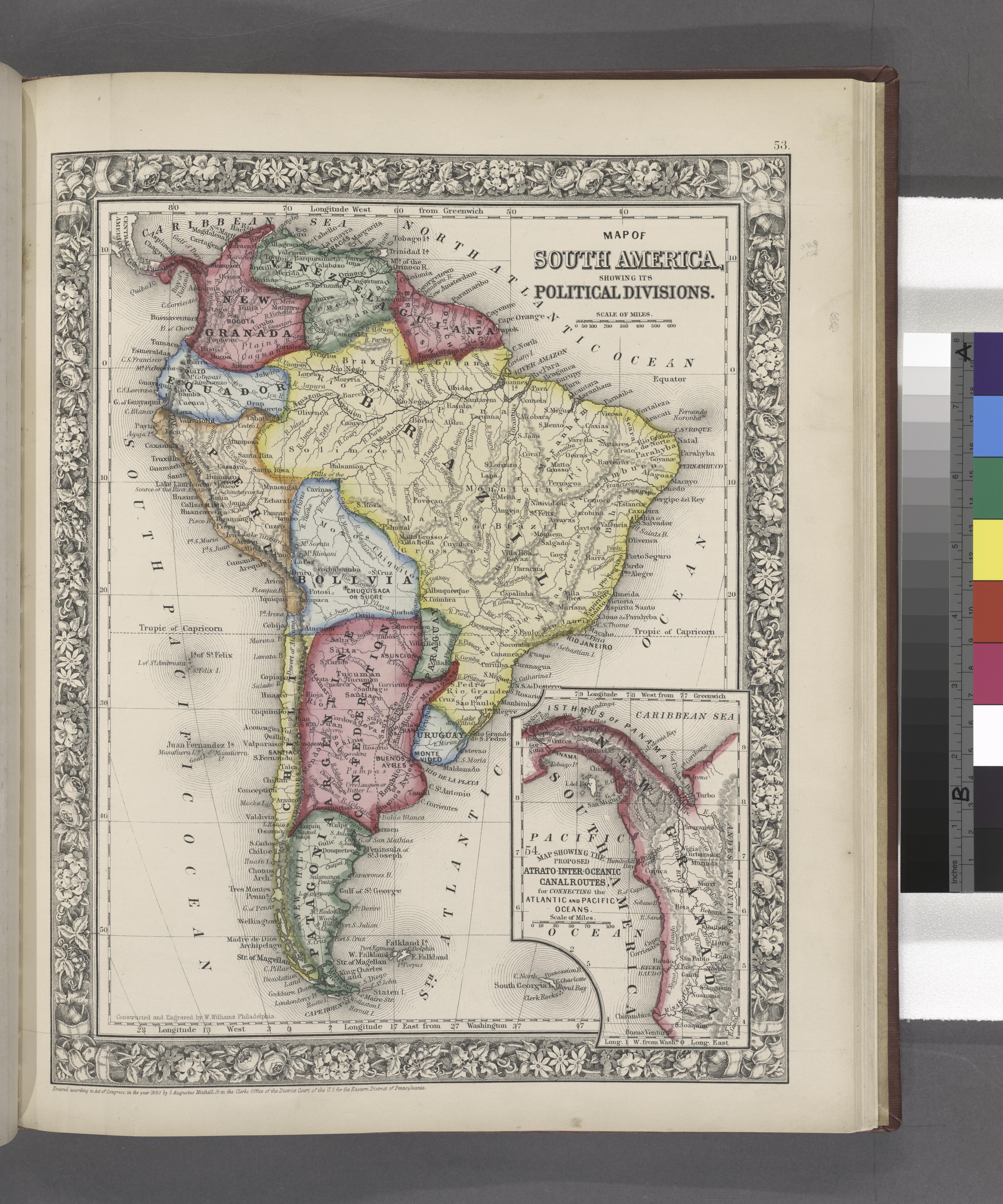
Map of South America showing its political divisions Map showing the proposed Atratointeroceanic canalroutes for connecting the Atlantic and Pacific oceans inset. NYPL. Map of South America showing its political divisions Map showing the proposed Atratointeroceanic canalroutes for connecting the Atlantic and Pacific oceans inset