
Related Images


Download:
| Tiny | 197x128 | View | Download |
| Small | 395x256 | View | Download |
| Medium | 790x512 | View | Download |
| Large | 1580x1024 | View | Download |
| Original | 8251x5346 | View | Download |
This image was acquired from
wikimedia. It was marked as Public Domain or CC0 and is free to use. To verify, go to the source and check the information there.
Looking for more info about this image?
Try a Google Reverse Image Search for it.
Try a Google Reverse Image Search for it.
Keywords from Image Description:
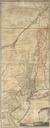
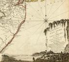
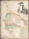
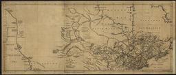
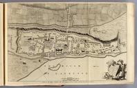
Map of Montreal by Thomas Jefferys. of Canada and Louisiana London Printed for Thomas Jefferys at CharingCross MDCCLX Pub Reference Howes Streeter Sabin PMaps lists all maps Stevens and Tree Clark Ristow Samuel Holland Pub Note See note field above Pub List No Pub Type Geography Book Pub Maps Pub Height cm Pub Width cm