Related Images


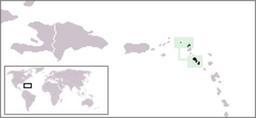
Download:
| Tiny | 169x128 | View | Download |
| Small | 338x256 | View | Download |
| Medium | 677x512 | View | Download |
| Large | 1355x1024 | View | Download |
| Original | 9765x7375 | View | Download |
This image was acquired from
wikimedia. It was marked as Public Domain or CC0 and is free to use. To verify, go to the source and check the information there.
Looking for more info about this image?
Try a Google Reverse Image Search for it.
Try a Google Reverse Image Search for it.
Keywords from Image Description:
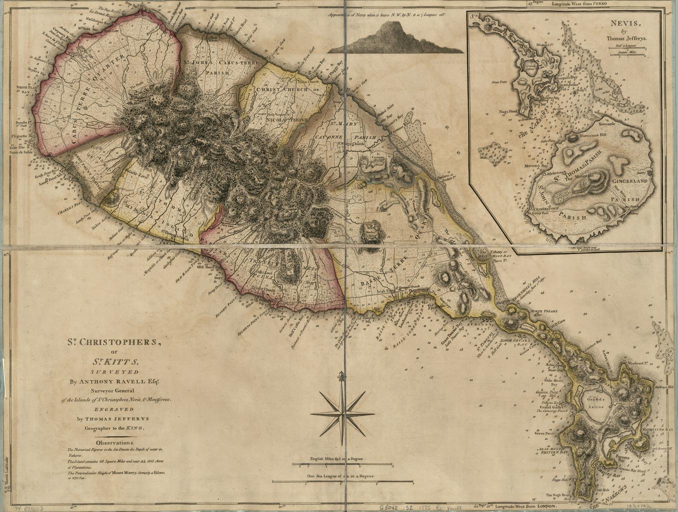
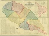
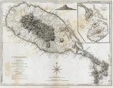
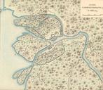
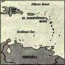
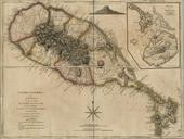
Saint Kitts historical map . en Saint Kitts historical map Title St Christophers or St Kitts Contributor Names Ravell Anthony Jefferys Thomas Created Published London Notes Scale ca Hand colored Relief shown by hachures Depths shown in fathoms Cadastral map Shows administrative boundaries Prime meridian London and Ferro LC