
Related Images


Download:
| Tiny | 129x128 | View | Download |
| Small | 258x256 | View | Download |
| Medium | 516x512 | View | Download |
| Original | 1000x992 | View | Download |
This image was acquired from
wikimedia. It was marked as Public Domain or CC0 and is free to use. To verify, go to the source and check the information there.
Looking for more info about this image?
Try a Google Reverse Image Search for it.
Try a Google Reverse Image Search for it.
Keywords from Image Description:
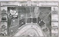
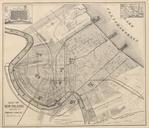
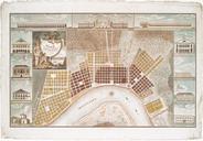
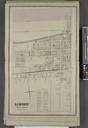
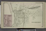
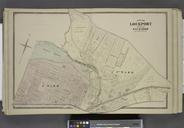
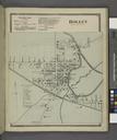
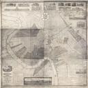
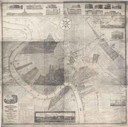
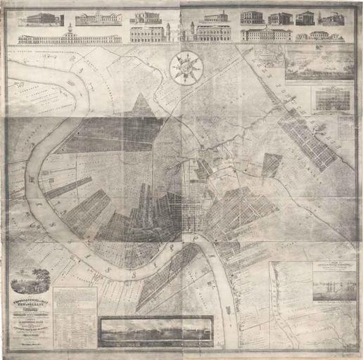
MapofNewOrleans Zimpel. Topographical Map of New Orleans and its Vicinity embracing distance of twelve miles up and eight and three quarter miles down the Mississippi River and Part of Lake Pontchartrain representing all Public Improvements existing and projected and important Establishments accompanied by Statistical table containing