
Related Images


Download:
| Tiny | 97x128 | View | Download |
| Small | 194x256 | View | Download |
| Medium | 389x512 | View | Download |
| Large | 779x1024 | View | Download |
| Original | 4536x5955 | View | Download |
This image was acquired from
wikimedia. It was marked as Public Domain or CC0 and is free to use. To verify, go to the source and check the information there.
Looking for more info about this image?
Try a Google Reverse Image Search for it.
Try a Google Reverse Image Search for it.
Keywords from Image Description:
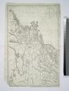
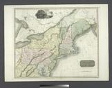
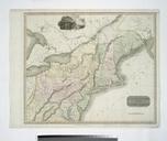
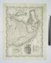
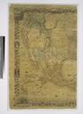
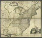
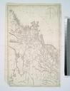
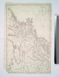
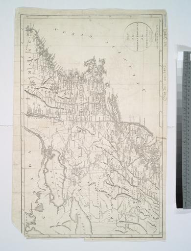
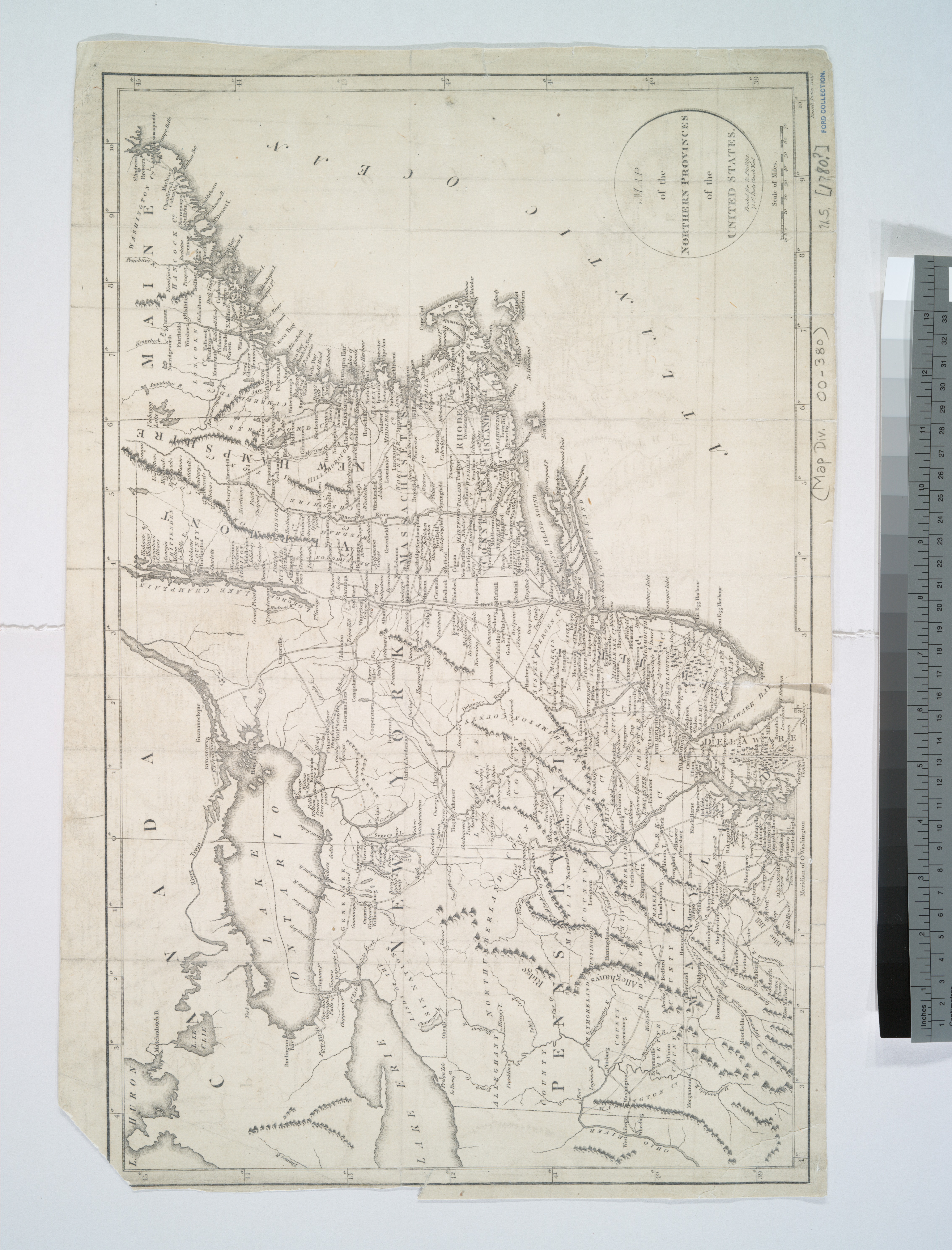
Map of the northern provinces of the United States NYPL b. en Citation From La RochefoucauldLiancourt's Travels through the United States of North America the country of the Iroquois and Upper Canada in the years and nd ed London National Endowment for the Humanities Grant for Access to Early Maps of the Middle Atlantic Seaboard