
Related Images


Download:
| Tiny | 97x128 | View | Download |
| Small | 195x256 | View | Download |
| Medium | 391x512 | View | Download |
| Large | 782x1024 | View | Download |
| Original | 3404x4452 | View | Download |
This image was acquired from
wikimedia. It was marked as Public Domain or CC0 and is free to use. To verify, go to the source and check the information there.
Looking for more info about this image?
Try a Google Reverse Image Search for it.
Try a Google Reverse Image Search for it.
Keywords from Image Description:
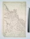
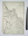
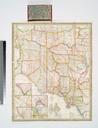
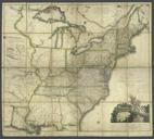
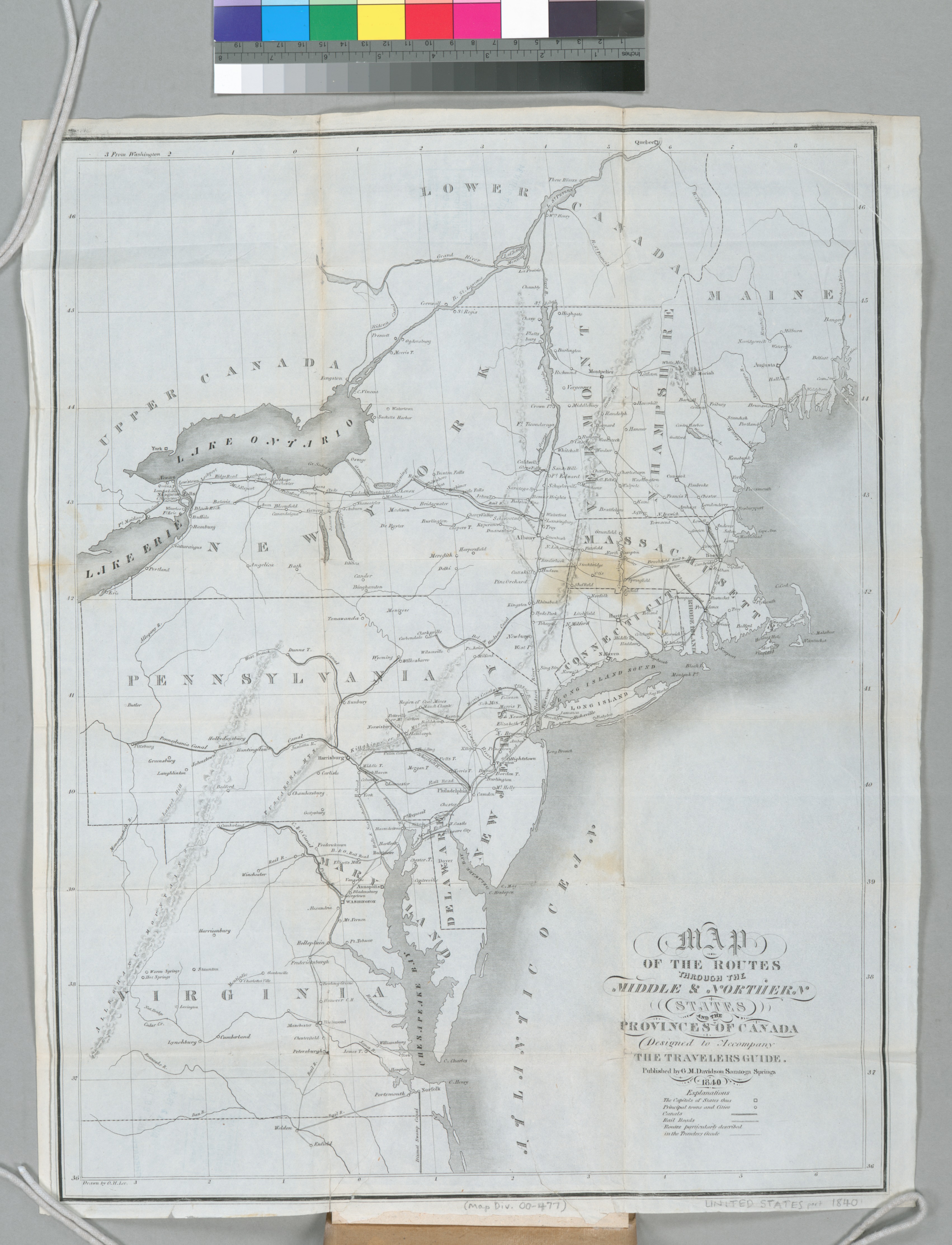
Map of the routes through the middle northern states and the provinces of Canada designed to accompany the travelers guide NYPL b. en Covers parts of Upper and Lower Canada Maine in the north along the Atlantic Ocean to Virginia in the south west as far as the western border of Pennsylvania National Endowment for the Humanities