
Related Images


Download:
| Tiny | 257x128 | View | Download |
| Small | 515x256 | View | Download |
| Original png | 800x397 | View | Download |
| Original as jpg | 800x397 | View | Download |
This image was acquired from
wikimedia. It was marked as Public Domain or CC0 and is free to use. To verify, go to the source and check the information there.
Looking for more info about this image?
Try a Google Reverse Image Search for it.
Try a Google Reverse Image Search for it.
Keywords from Image Description:
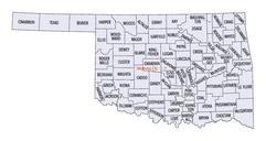
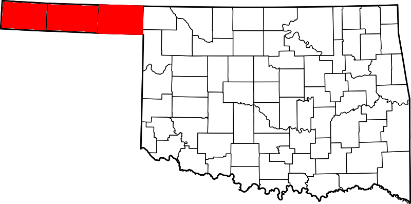
Map of Oklahoma highlighting Panhandle. Based on Image Map of Oklahoma highlighting Beaver County svg which was also public domain Map of Oklahoma highlighting Panhandle svg Waterguy Maps of Oklahoma Oklahoma Panhandle