Related Images
Download:
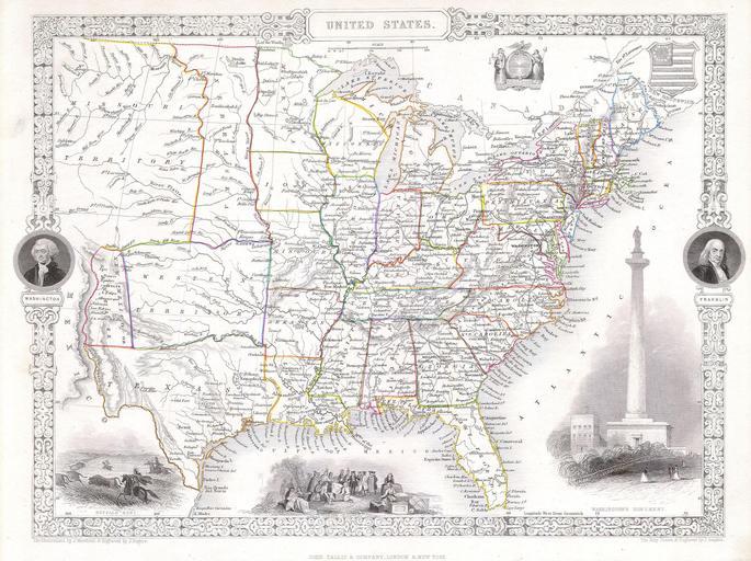
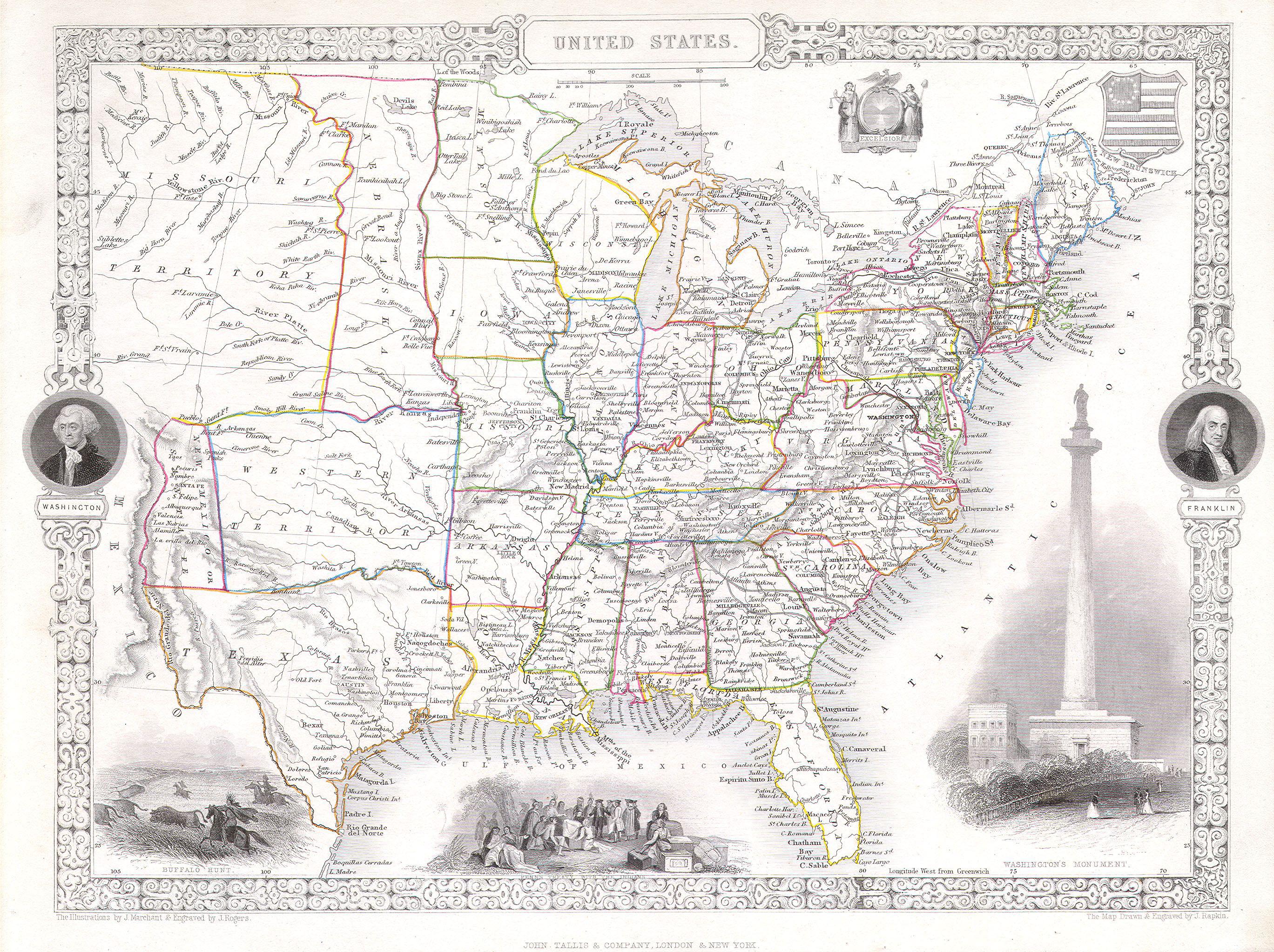
| Tiny | 171x128 | View | Download |
| Small | 342x256 | View | Download |
| Medium | 685x512 | View | Download |
| Large | 1370x1024 | View | Download |
| Original | 2737x2045 | View | Download |
This image was acquired from
wikimedia. It was marked as Public Domain or CC0 and is free to use. To verify, go to the source and check the information there.
Looking for more info about this image?
Try a Google Reverse Image Search for it.
Try a Google Reverse Image Search for it.
Keywords from Image Description:
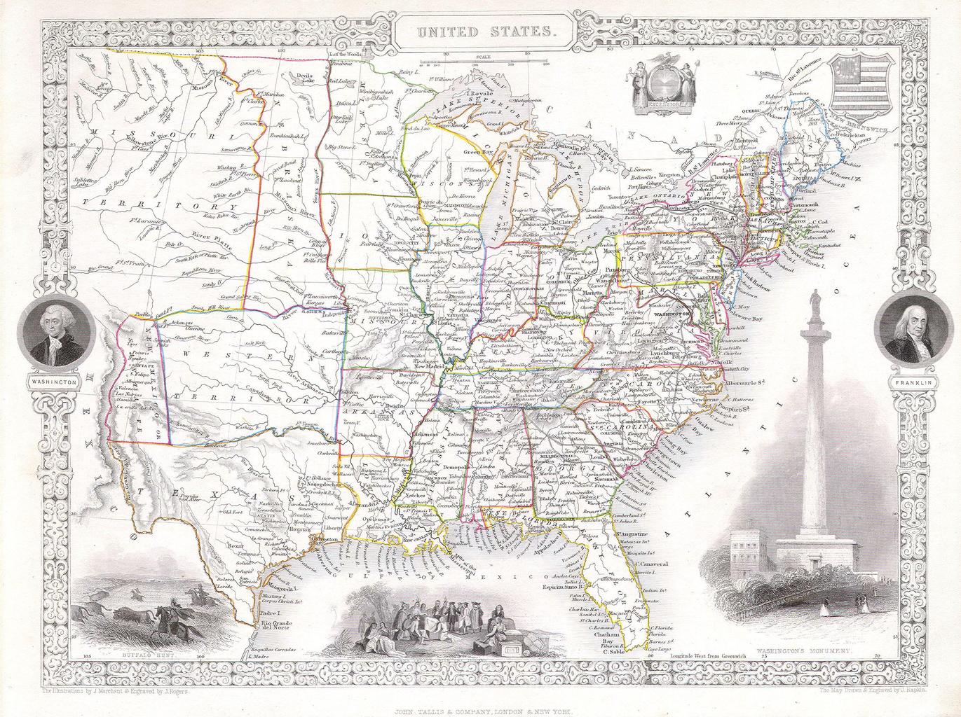
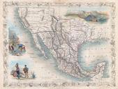
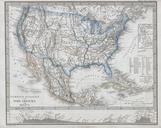
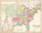
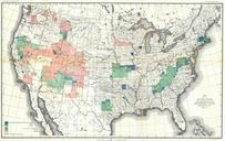
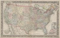
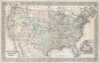
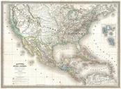
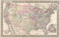
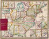
Tallis Rapkin Map of the United States Geographicus USAtlls. This is fascinating map of the United States Covers the United States from Texas shown at fullest extant and Santa Fe north through the Missouri Territory to Canada and east to the Atlantic The TransMississippi region is exceptionally interesting with fascinating if