Related Images

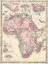

Download:
| Tiny | 174x128 | View | Download |
| Small | 349x256 | View | Download |
| Medium | 698x512 | View | Download |
| Large | 1396x1024 | View | Download |
| Original | 4000x2932 | View | Download |
This image was acquired from
wikimedia. It was marked as Public Domain or CC0 and is free to use. To verify, go to the source and check the information there.
Looking for more info about this image?
Try a Google Reverse Image Search for it.
Try a Google Reverse Image Search for it.
Keywords from Image Description:
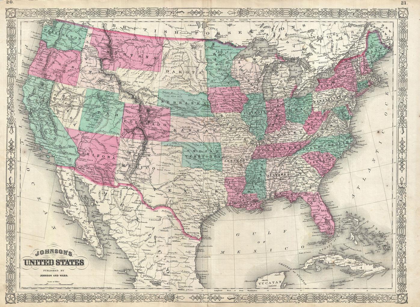
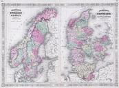
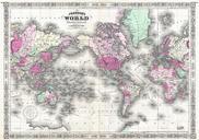
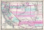
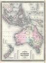
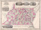
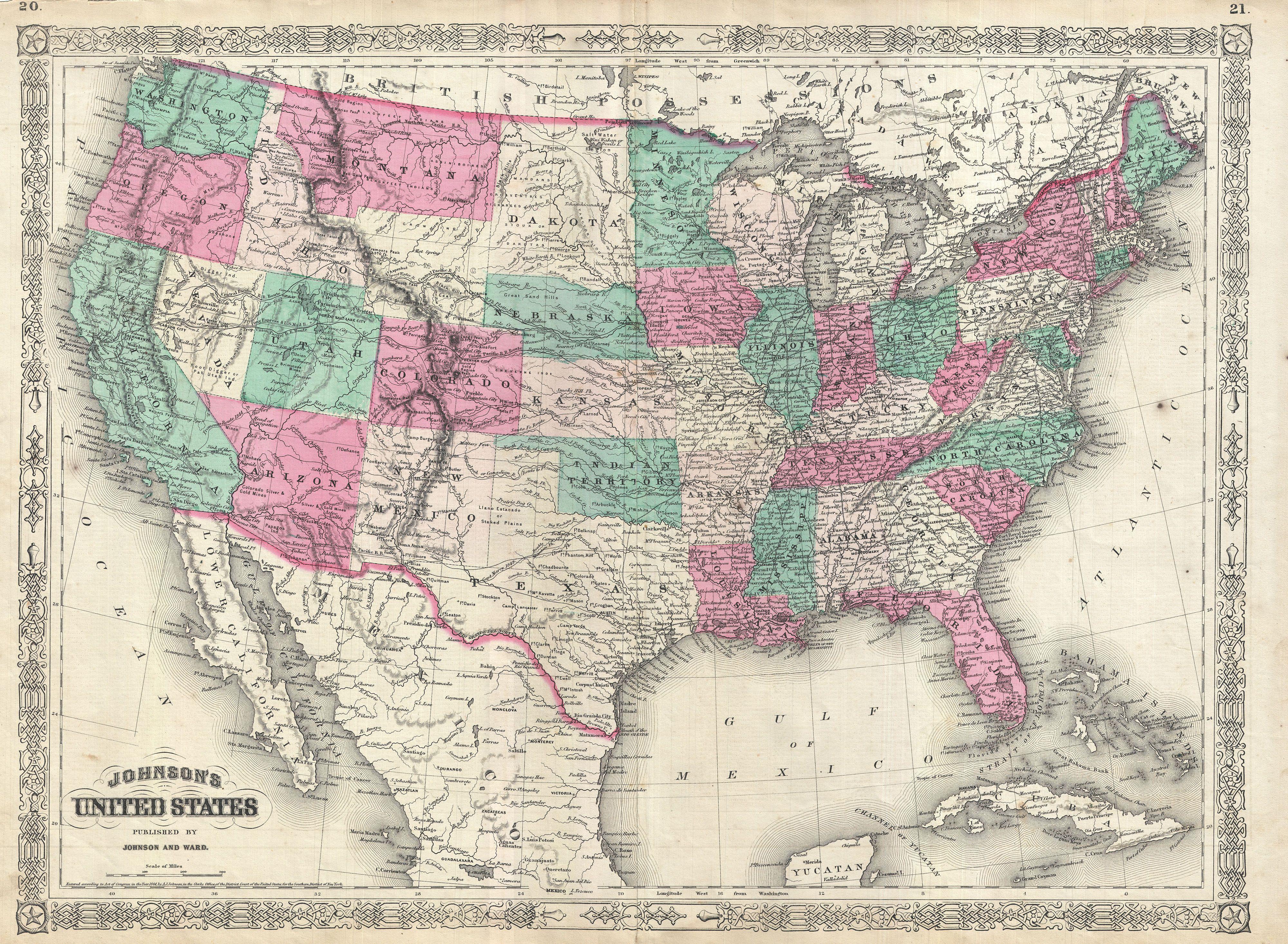
Johnson Map of the United States Geographicus UnitedStatesjohnson. This is Johnson and Ward map of the United States Johnson map covers the entirety of the United States as well as adjacent parts of Canada and Mexico revealing the country at critical historical junction just following the American Civil War Most states are depicted