
Related Images


Download:
| Tiny | 95x128 | View | Download |
| Small | 191x256 | View | Download |
| Medium | 383x512 | View | Download |
| Large | 766x1024 | View | Download |
| Original png | 778x1039 | View | Download |
| Original as jpg | 778x1039 | View | Download |
This image was acquired from
wikimedia. It was marked as Public Domain or CC0 and is free to use. To verify, go to the source and check the information there.
Looking for more info about this image?
Try a Google Reverse Image Search for it.
Try a Google Reverse Image Search for it.
Keywords from Image Description:
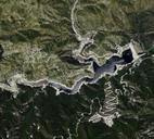
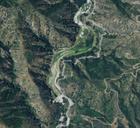
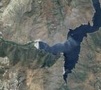
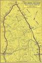
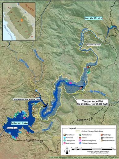
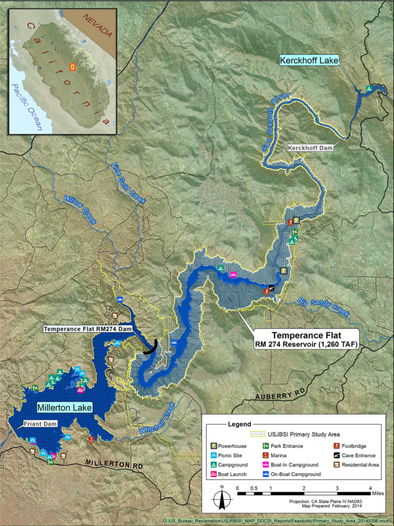
Map of proposed Temperance Flat Dam and reservoir. en Proposed Temperance Flat dam as of January USBR report Dam sits at river mile and partially inundates both Millterton and Kerckhoff reservoirs usbr gov pdf United States Bureau of Reclamation PDUSGov Uploaded with Maps of California