Download:
| Tiny | 150x128 | View | Download |
| Small | 301x256 | View | Download |
| Medium | 602x512 | View | Download |
| Large | 1205x1024 | View | Download |
| Original png | 1750x1486 | View | Download |
| Original as jpg | 1750x1486 | View | Download |
This image was acquired from
wikimedia. It was marked as Public Domain or CC0 and is free to use. To verify, go to the source and check the information there.
Looking for more info about this image?
Try a Google Reverse Image Search for it.
Try a Google Reverse Image Search for it.
Keywords from Image Description:
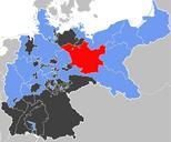
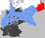
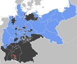
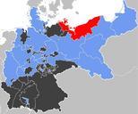
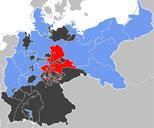
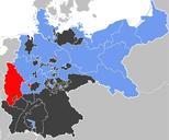
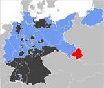
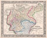
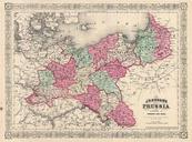
MapPrussiaPWP. MapPrussiaPWP svg en Pickup The Prussian Province of PosenWest Prussia red within the Free State of Prussia blue Other members of the German Confederation shown in black Source Map data of the IEGMaps project by Andreas Kunz Johnen and Joachim Robert Moeschl of the University of Mainz For further info visit iegmaps


