
Related Images


Download:
| Tiny | 158x128 | View | Download |
| Small | 316x256 | View | Download |
| Medium | 632x512 | View | Download |
| Large | 1264x1024 | View | Download |
| Original | 2000x1620 | View | Download |
This image was acquired from
wikimedia. It was marked as Public Domain or CC0 and is free to use. To verify, go to the source and check the information there.
Looking for more info about this image?
Try a Google Reverse Image Search for it.
Try a Google Reverse Image Search for it.
Keywords from Image Description:
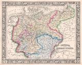
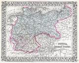
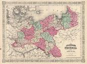
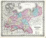
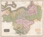
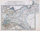
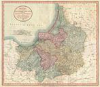
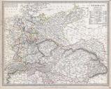
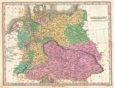
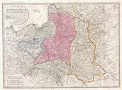
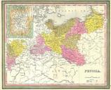
Mitchell Map of Prussia Germany Geographicus Prussiam. This hand colored map is copper plate engraving dating to by the legendary American mapmaker Mitchell the elder It represents Prussia This map features detailed inset map of Berlin Most major national and local political distinctions are outlined and defined by vibrant color