
Related Images
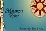

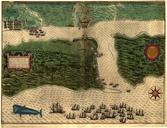
This image was acquired from
wikimedia. It was marked as Public Domain or CC0 and is free to use. To verify, go to the source and check the information there.
Looking for more info about this image?
Try a Google Reverse Image Search for it.
Try a Google Reverse Image Search for it.
Keywords from Image Description:
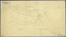
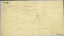
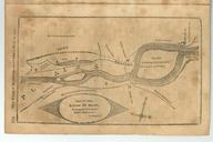
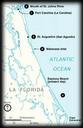
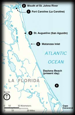
Map showing Fort Caroline and Matanzas. en Map of the northeast coast of presentday Florida showing the locations of Fort Caroline and Matanzas Inlet nps gov htm author PDUSGov Uploaded with Old maps of Florida Old maps of St Augustine Florida