Related Images


Download:
| Tiny | 113x128 | View | Download |
| Small | 226x256 | View | Download |
| Medium | 452x512 | View | Download |
| Large | 905x1024 | View | Download |
| Original | 4808x5436 | View | Download |
This image was acquired from
wikimedia. It was marked as Public Domain or CC0 and is free to use. To verify, go to the source and check the information there.
Looking for more info about this image?
Try a Google Reverse Image Search for it.
Try a Google Reverse Image Search for it.
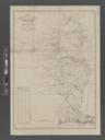
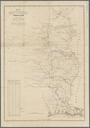
Keywords from Image Description:
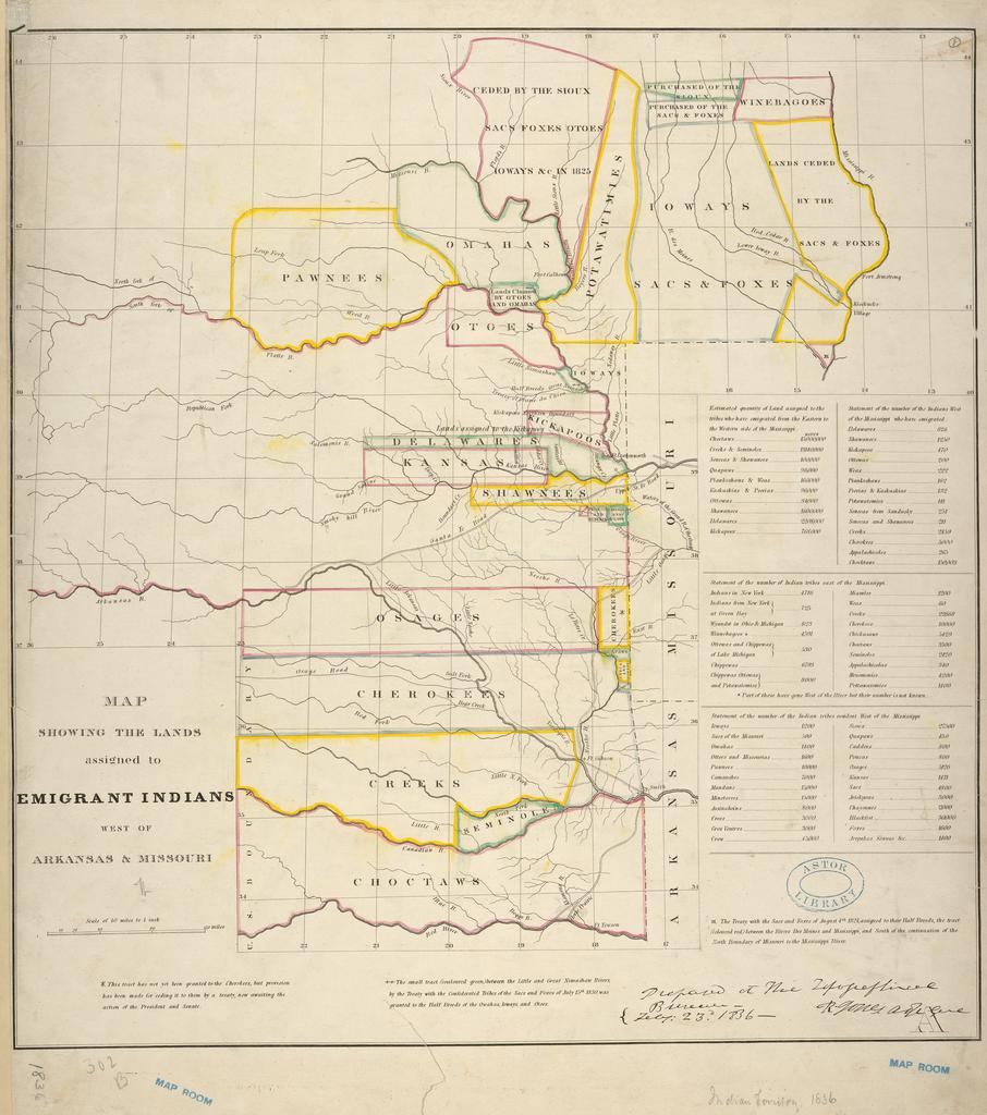
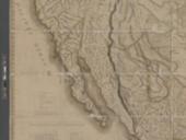
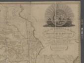
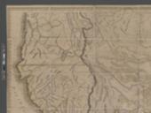
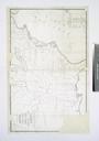
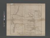
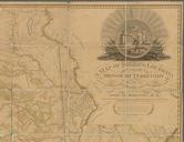
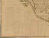
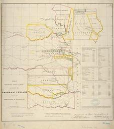
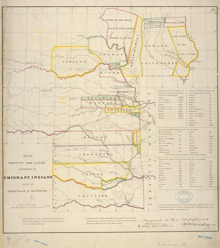
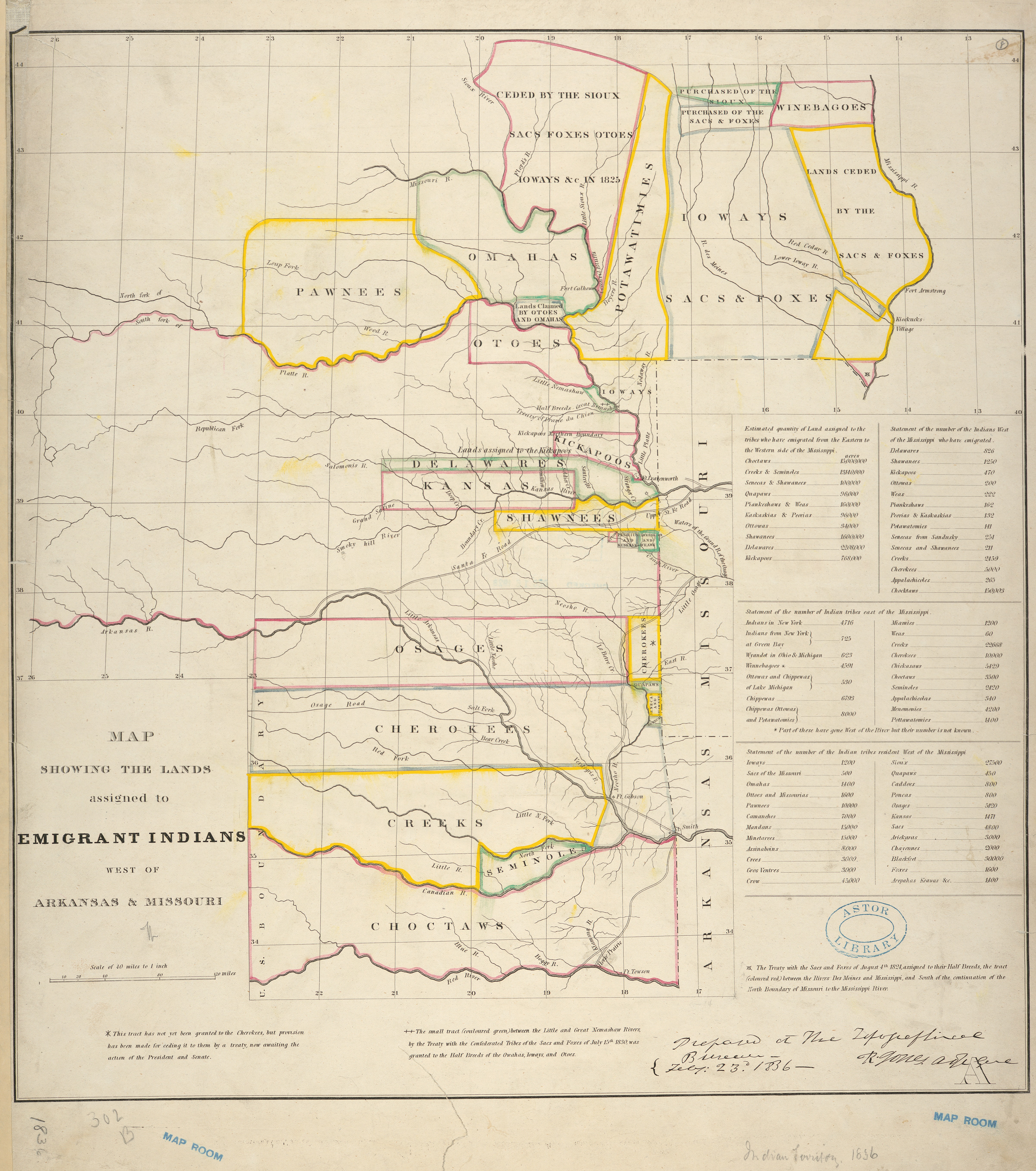
Map showing the lands assigned to emigrant Indians west of Arkansas Missouri NYPL b. en Scale miles in Author statement is ms annotation in ink Prime meridian Washington From AdjutantGeneral's Office's Colonel Dodge's journal report of the expedition of the dragoons under the command of Colonel Henry Dodge to the Rocky Mountains