Related Images


Download:
| Tiny | 89x128 | View | Download |
| Small | 179x256 | View | Download |
| Medium | 358x512 | View | Download |
| Large | 717x1024 | View | Download |
| Original | 6779x9678 | View | Download |
This image was acquired from
wikimedia. It was marked as Public Domain or CC0 and is free to use. To verify, go to the source and check the information there.
Looking for more info about this image?
Try a Google Reverse Image Search for it.
Try a Google Reverse Image Search for it.
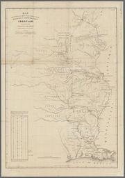
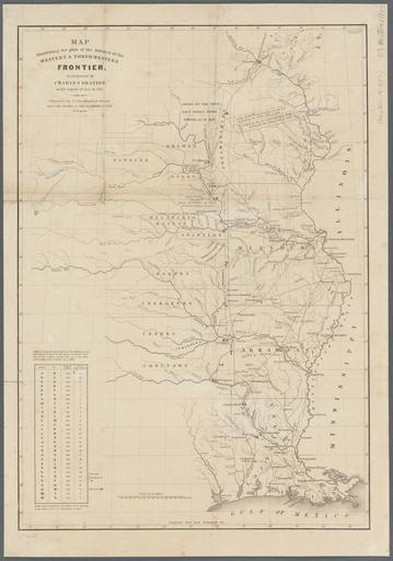
Keywords from Image Description:
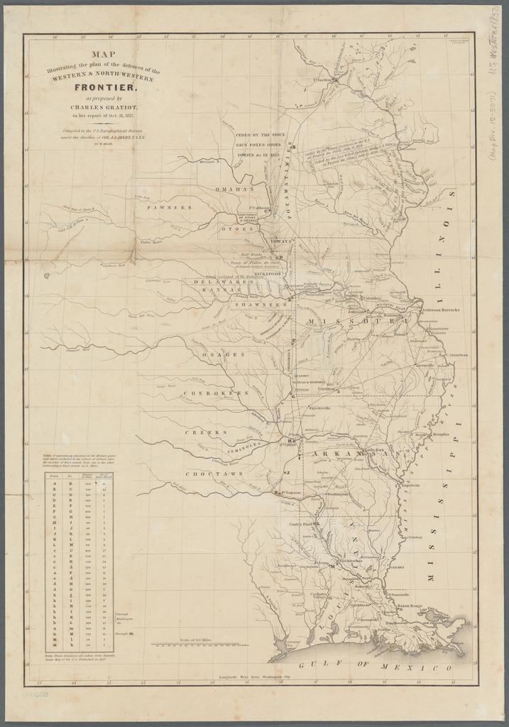
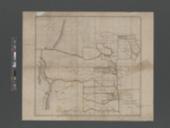
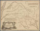
Map illustrating the plan of the defences of the western northwestern frontier NYPL b. en Shows rivers roads Indian lands forts military posts cities and settlements from the Mississippi River to the Great Plains and south to the Gulf of Mexico Prime meridian Washington Longitude coordinates expressed here as measured from Greenwich