Related Images


Download:
| Tiny | 96x128 | View | Download |
| Small | 192x256 | View | Download |
| Medium | 384x512 | View | Download |
| Large | 769x1024 | View | Download |
| Original tiff | 4648x6187 | View | Download |
| Original as jpg | 4648x6187 | View | Download |
This image was acquired from
wikimedia. It was marked as Public Domain or CC0 and is free to use. To verify, go to the source and check the information there.
Looking for more info about this image?
Try a Google Reverse Image Search for it.
Try a Google Reverse Image Search for it.
Keywords from Image Description:
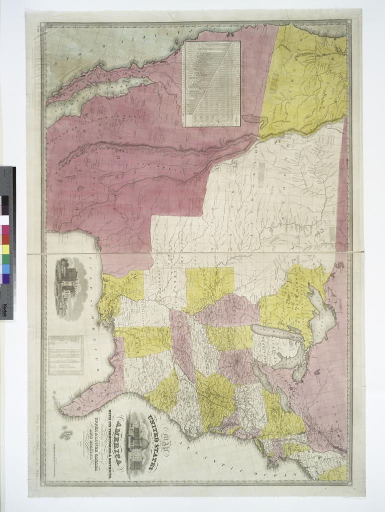
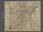
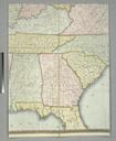
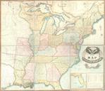
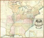
Map of the United States of America with its territories districts including also part of upper lower Canada and Mexico NYPL b. en Includes table of area and population of the states and territories table of distances and population of major cities according to the census National Endowment for the Humanities Grant for Access