
Related Images


Download:
| Tiny | 170x128 | View | Download |
| Small | 340x256 | View | Download |
| Medium | 681x512 | View | Download |
| Large | 1362x1024 | View | Download |
| Original tiff | 10328x7760 | View | Download |
| Original as jpg | 10328x7760 | View | Download |
This image was acquired from
wikimedia. It was marked as Public Domain or CC0 and is free to use. To verify, go to the source and check the information there.
Looking for more info about this image?
Try a Google Reverse Image Search for it.
Try a Google Reverse Image Search for it.
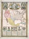
Keywords from Image Description:
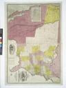
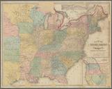
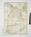
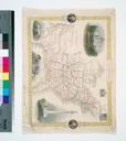
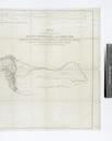
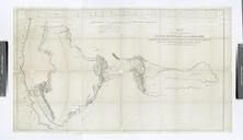
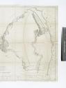
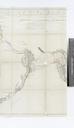
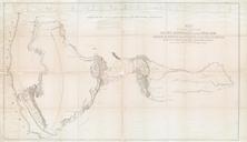
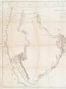
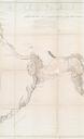
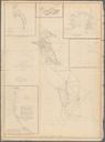
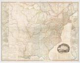
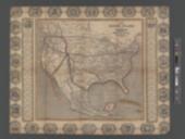
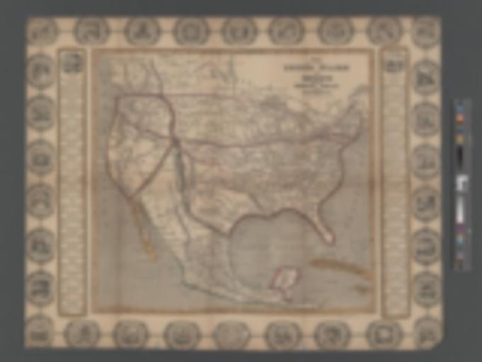
Map of the United States and Mexico including Oregon Texas and the Californias NYPL b. en Relief shown by hachures Prime meridians Greenwich and Washington Includes ornamental border with illustrations and statistics Mapping the Nation NEH grant nypl org Scan by NYPL Map of the United States and Mexico including Oregon Texas