Download:
| Tiny | 170x128 | View | Download |
| Small | 341x256 | View | Download |
| Medium | 682x512 | View | Download |
| Original | 1000x750 | View | Download |
This image was acquired from
wikimedia. It was marked as Public Domain or CC0 and is free to use. To verify, go to the source and check the information there.
Looking for more info about this image?
Try a Google Reverse Image Search for it.
Try a Google Reverse Image Search for it.
Keywords from Image Description:
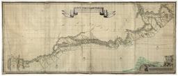
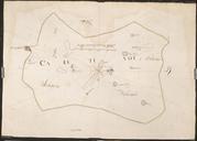
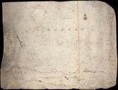
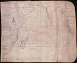
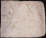
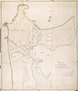
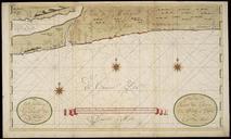
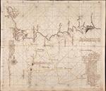
Map with plan for shipping route between Montfoort and Amsterdam. Artwork Ucfirst Creator Anonymous Getekende kaart waarschijnlijk gemaakt ter ondersteuning van een plan voor een vaarroute tussen Montfoort en Amsterdam De kaart is in dat geval gemaakt in opdracht van de stad Montfoort die midden op de kaart is afgebeeld Zowel Amsterdam

