
Related Images


Download:
| Tiny | 186x128 | View | Download |
| Small | 373x256 | View | Download |
| Medium | 746x512 | View | Download |
| Large | 1492x1024 | View | Download |
| Original | 1500x1029 | View | Download |
This image was acquired from
wikimedia. It was marked as Public Domain or CC0 and is free to use. To verify, go to the source and check the information there.
Looking for more info about this image?
Try a Google Reverse Image Search for it.
Try a Google Reverse Image Search for it.
Keywords from Image Description:
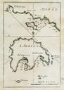
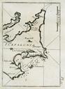
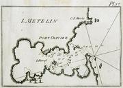
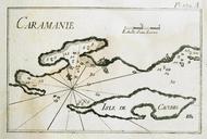
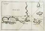
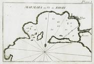
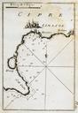
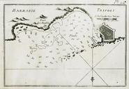
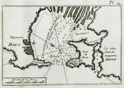
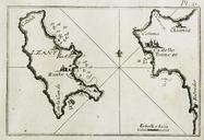
Map of Zakynthos charting the port waters and eastern inlets of the island Roux Joseph . en Recueil des principaux plans des ports et rades de la Mditerrane chez Yves Gravier Libraire sous la Loge de Banchi travelogues gr php view Creator Joseph Roux other versions Custom marker PDold PD Joseph Roux