Related Images


Download:
| Tiny | 101x128 | View | Download |
| Small | 202x256 | View | Download |
| Medium | 404x512 | View | Download |
| Large | 808x1024 | View | Download |
| Original | 2337x2961 | View | Download |
This image was acquired from
wikimedia. It was marked as Public Domain or CC0 and is free to use. To verify, go to the source and check the information there.
Looking for more info about this image?
Try a Google Reverse Image Search for it.
Try a Google Reverse Image Search for it.
Keywords from Image Description:
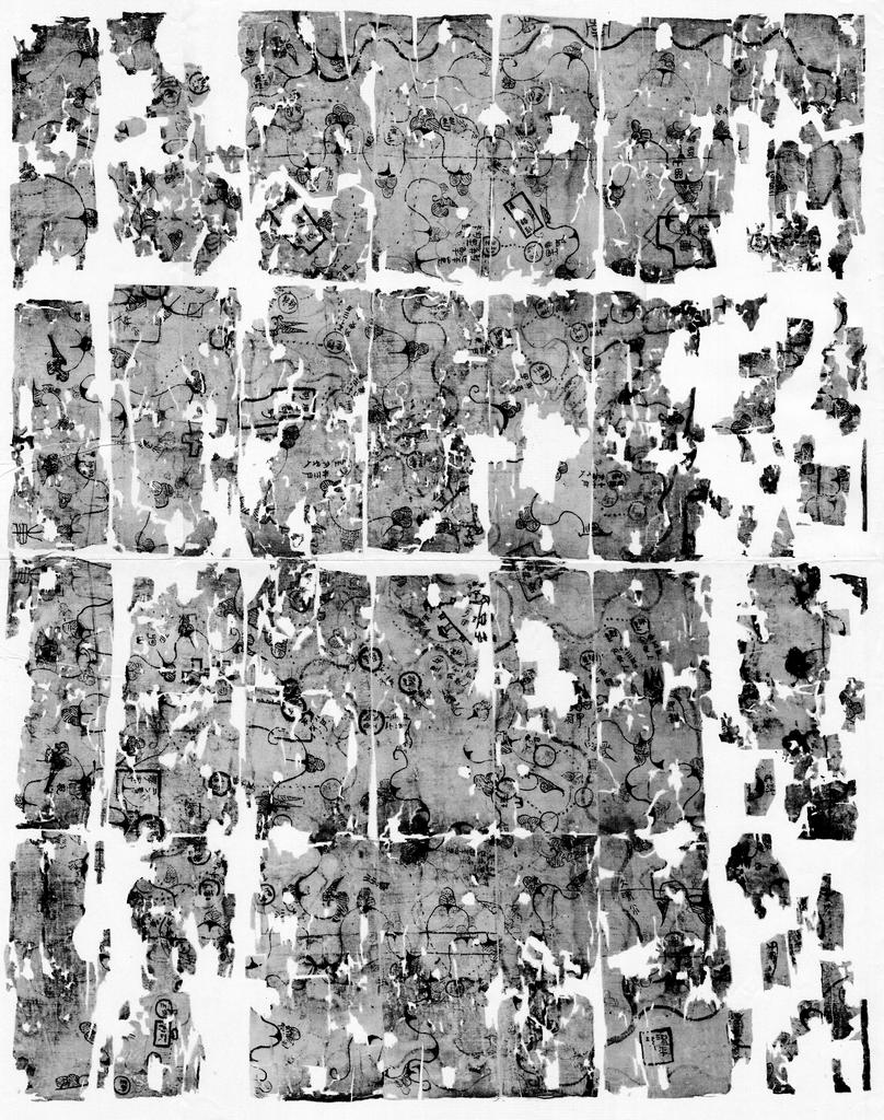
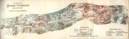
Mawangdui Military Map. Mawangdui Topographic Map It marks the positions of Han military garrisons that were employed in an attack against Nanyue in BC cite book Hansen Valerie The Open Empire History of China to New York USA London UK Norton Company Found in in Tomb of the Mawangdui Western Han tomb complex Datable to circa