
Related Images

Download:
| Tiny | 129x128 | View | Download |
| Small | 259x256 | View | Download |
| Medium | 519x512 | View | Download |
| Large | 1038x1024 | View | Download |
| Original | 2929x2889 | View | Download |
This image was acquired from
wikimedia. It was marked as Public Domain or CC0 and is free to use. To verify, go to the source and check the information there.
Looking for more info about this image?
Try a Google Reverse Image Search for it.
Try a Google Reverse Image Search for it.
Keywords from Image Description:
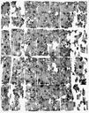
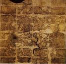
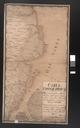
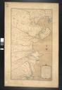
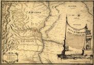
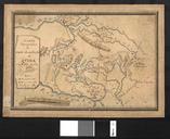
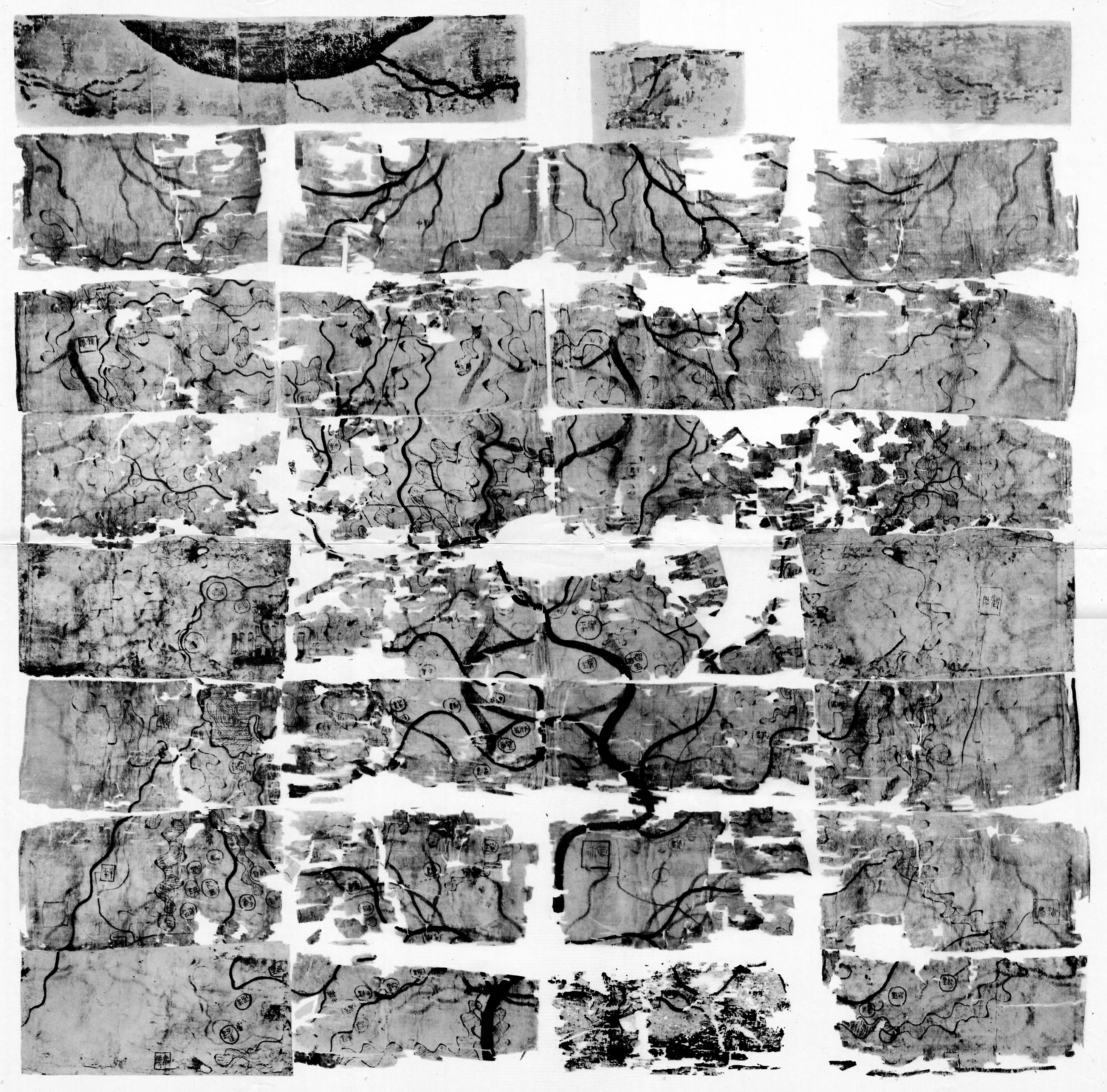
Mawangdui Topographic Map. Mawangdui Military Map zhhant Scanned from Guditu Mawangdui Hanmu Boshu Beijing Wenwu Chubanshe author Western Han Mawangdui Silk Map colour image PDscan Uploaded with Ancient Chinese maps former to th century BC Maps of the Han Dynasty Mawangdui Western Han Dynasty Maps of Nanyue