Related Images


Download:
| Tiny | 132x128 | View | Download |
| Small | 265x256 | View | Download |
| Medium | 530x512 | View | Download |
| Large | 1060x1024 | View | Download |
| Original | 3675x3549 | View | Download |
This image was acquired from
wikimedia. It was marked as Public Domain or CC0 and is free to use. To verify, go to the source and check the information there.
Looking for more info about this image?
Try a Google Reverse Image Search for it.
Try a Google Reverse Image Search for it.
Keywords from Image Description:
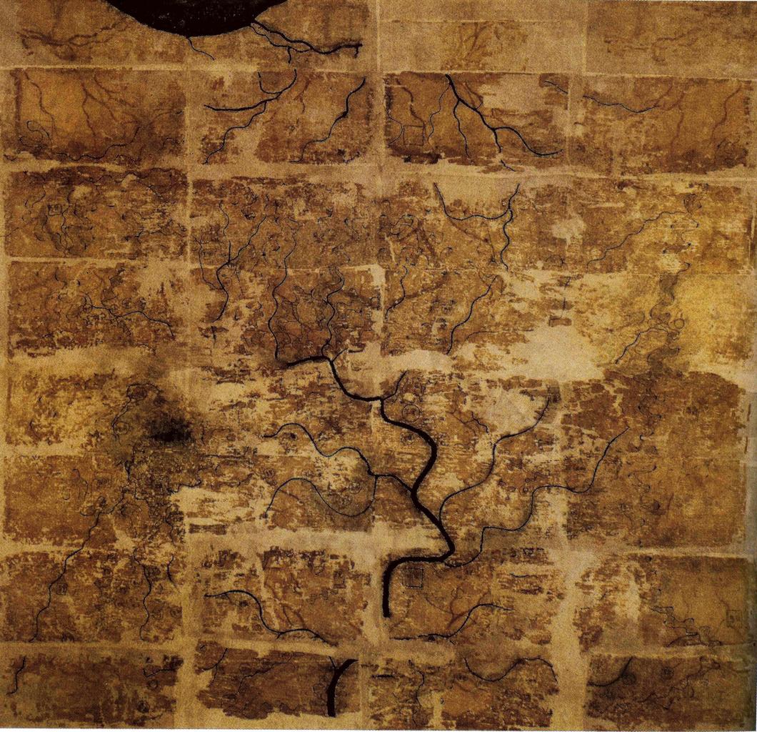
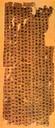
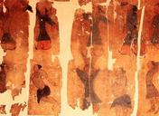
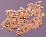
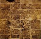
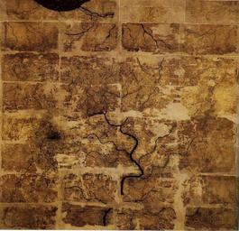
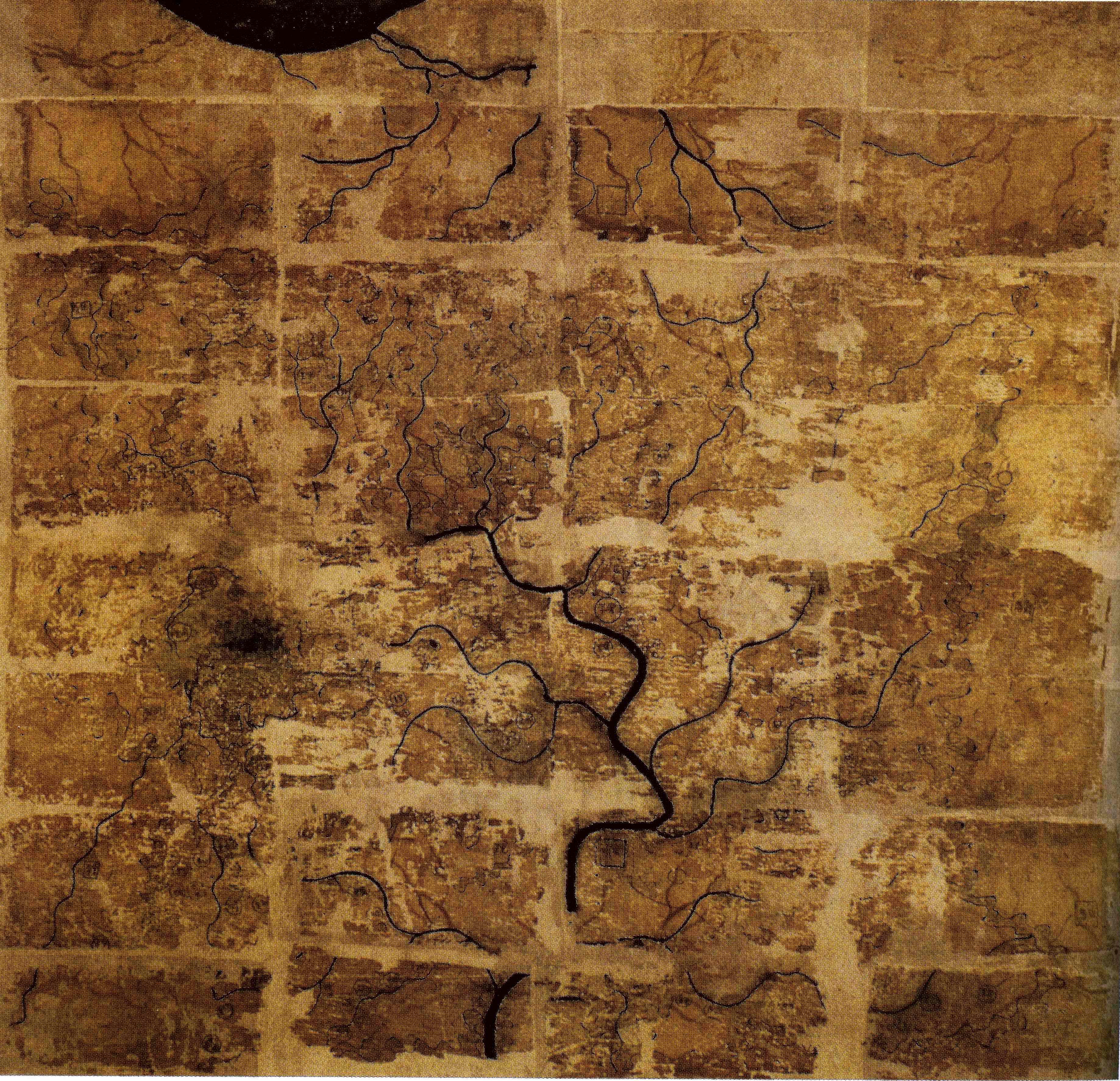
Western Han Mawangdui Silk Map. Chinese topographic map with the south positioned at the top from Mawangdui tomb dated to the early Western Han period BC length is cm width is cm the map is made of ink on silk It is now housed in the Hunan Provincial Museum Changsha The map depicts large territory in southern China spanning