Related Images


Download:
| Tiny | 134x128 | View | Download |
| Small | 268x256 | View | Download |
| Medium | 537x512 | View | Download |
| Large | 1074x1024 | View | Download |
| Original | 1313x1251 | View | Download |
This image was acquired from
wikimedia. It was marked as Public Domain or CC0 and is free to use. To verify, go to the source and check the information there.
Looking for more info about this image?
Try a Google Reverse Image Search for it.
Try a Google Reverse Image Search for it.
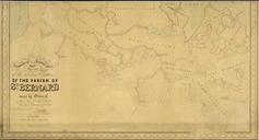
Keywords from Image Description:
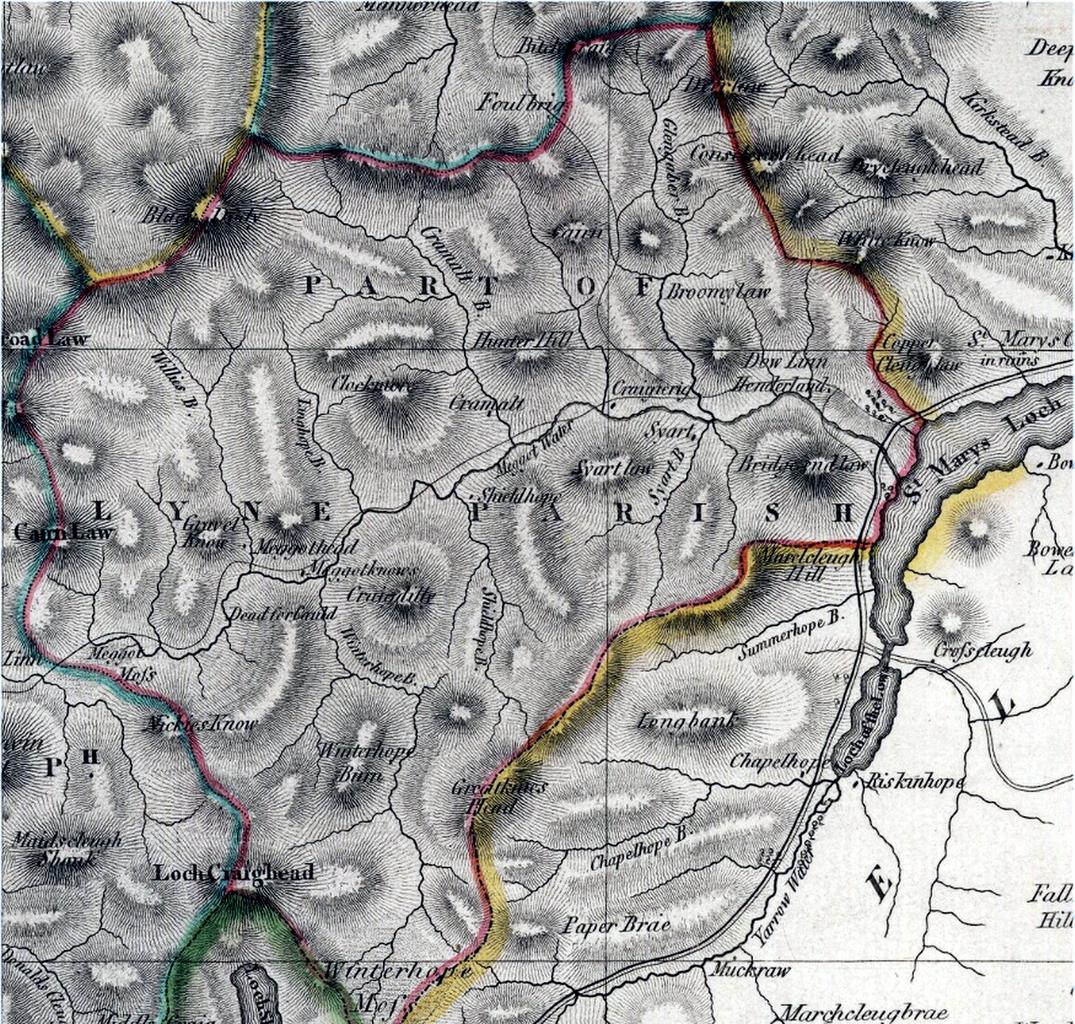
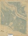
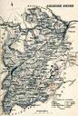
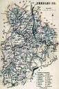
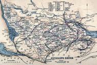
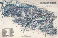
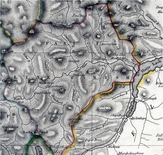
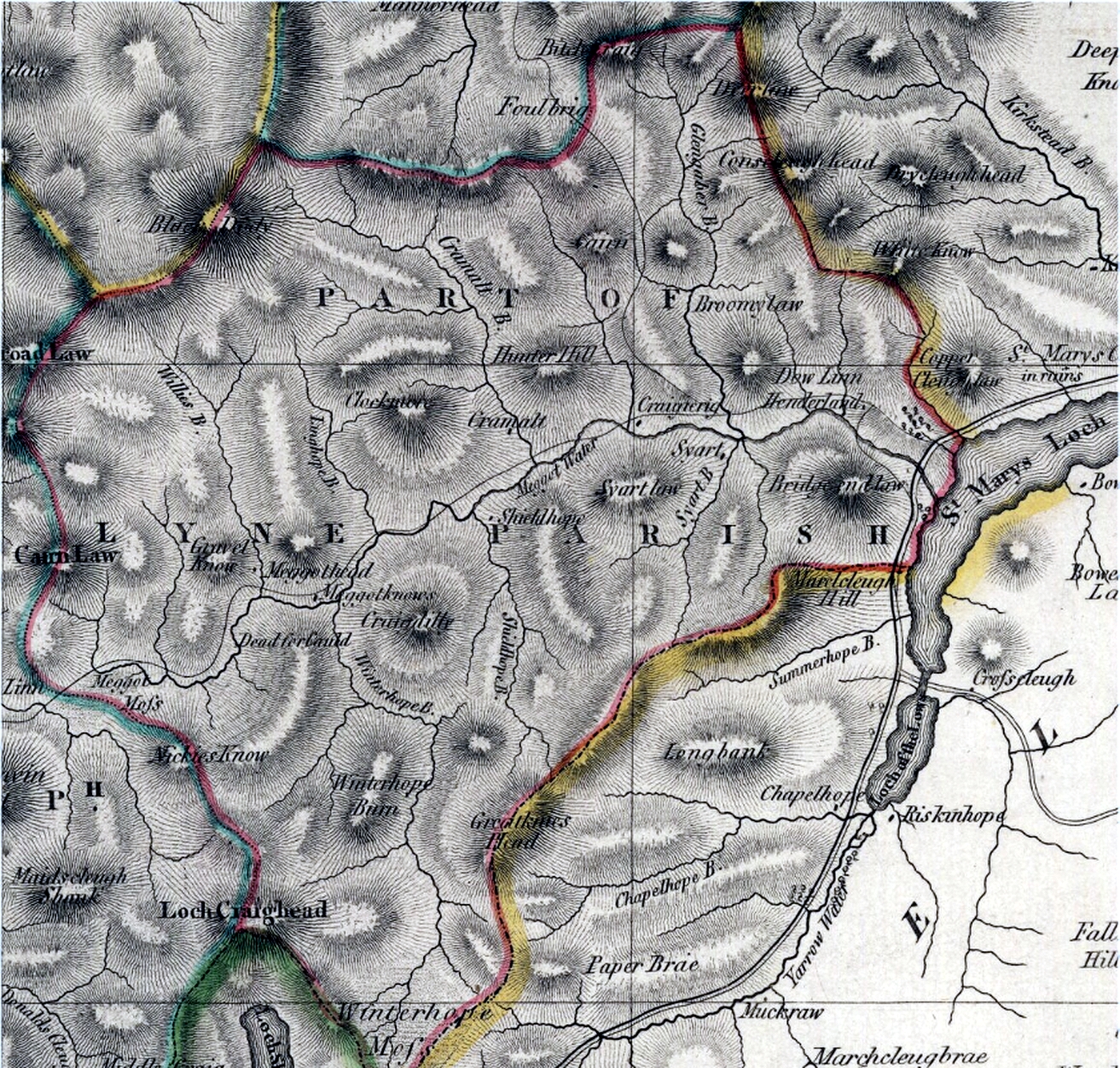
Megget parish map. Map showing the parish boundary of Megget in then in union with the parish of Lyne about miles to the north Both parishes in the county of Peeblesshire Scotland Original publication John Thomson's Atlas of Scotland This page created in br Immediate source Reproduced with the permission of the National Library