Related Images


Download:
| Tiny | 108x128 | View | Download |
| Small | 217x256 | View | Download |
| Medium | 434x512 | View | Download |
| Large | 868x1024 | View | Download |
| Original | 2363x2786 | View | Download |
This image was acquired from
wikimedia. It was marked as Public Domain or CC0 and is free to use. To verify, go to the source and check the information there.
Looking for more info about this image?
Try a Google Reverse Image Search for it.
Try a Google Reverse Image Search for it.
Keywords from Image Description:
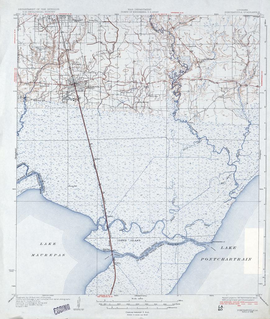
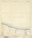
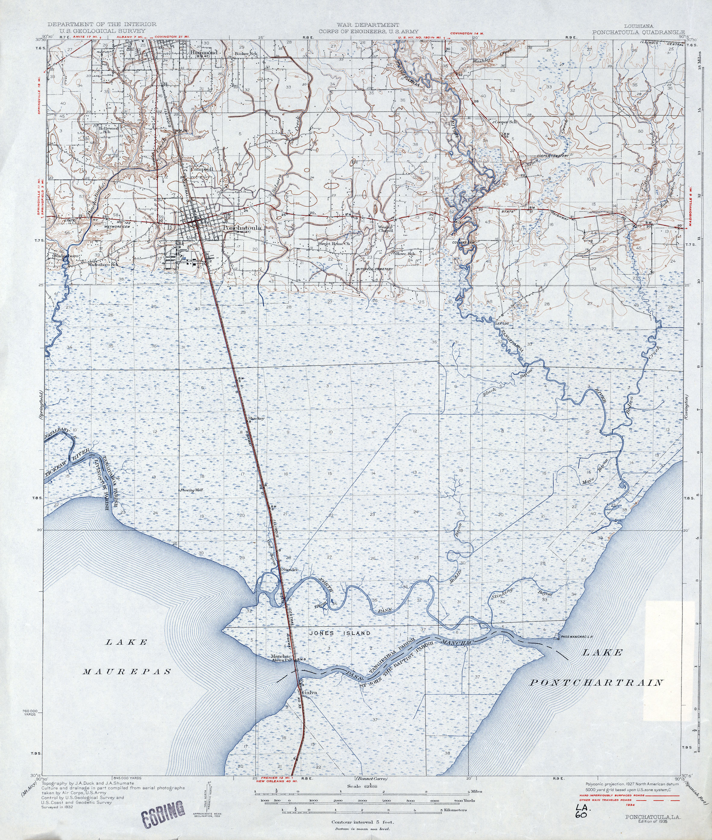
Tangipahoa Parish Louisiana Map Ponchatoula Pass Manchac. map of section of Tangipahoa Parish Louisiana showing area from north of Ponchatoula to Pass Manchac inclusive Geological Survey map via lib utexas edu Geological Survey PDUSGov maps in Louisiana Maps of Tangipahoa Parish Louisiana Ponchatoula Louisiana Pass Manchac