Related Images


Download:
| Tiny | 173x128 | View | Download |
| Small | 346x256 | View | Download |
| Medium | 693x512 | View | Download |
| Large | 1386x1024 | View | Download |
| Original | 8086x5971 | View | Download |
This image was acquired from
wikimedia. It was marked as Public Domain or CC0 and is free to use. To verify, go to the source and check the information there.
Looking for more info about this image?
Try a Google Reverse Image Search for it.
Try a Google Reverse Image Search for it.
Keywords from Image Description:
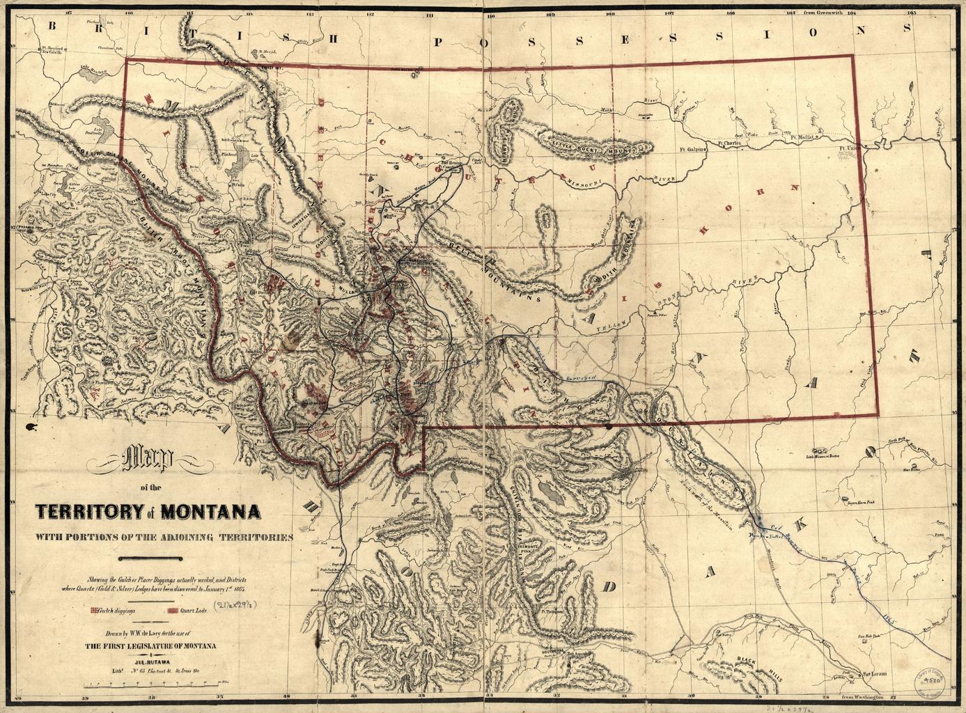
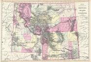
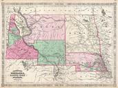
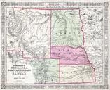
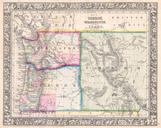
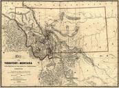
MontanaDeLacy. en Map of the territory of Montana with portions of the adjoining territories showing the gulch or placer diggings actually worked and districts where quartz gold silver lodges have been discovered to January st drawn by de Lacy for the use of the first legislature of Montana LOCmap gh ct deLacy PDUSGov Maps of