Related Images


Download:
| Tiny | 170x128 | View | Download |
| Small | 341x256 | View | Download |
| Medium | 682x512 | View | Download |
| Large | 1365x1024 | View | Download |
| Original | 5000x3750 | View | Download |
This image was acquired from
wikimedia. It was marked as Public Domain or CC0 and is free to use. To verify, go to the source and check the information there.
Looking for more info about this image?
Try a Google Reverse Image Search for it.
Try a Google Reverse Image Search for it.
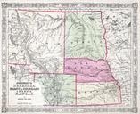
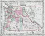
Keywords from Image Description:
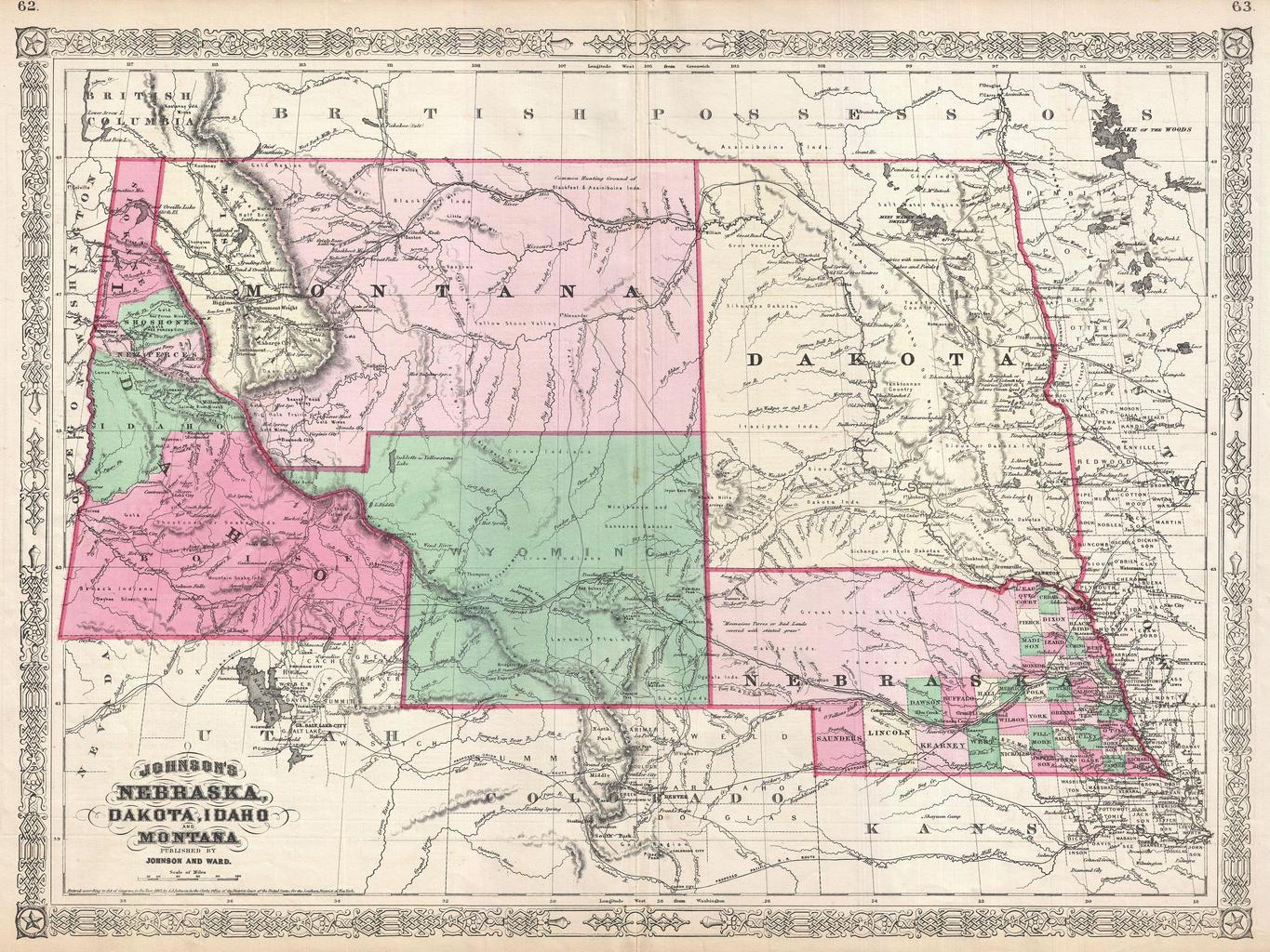
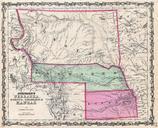
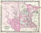
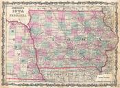
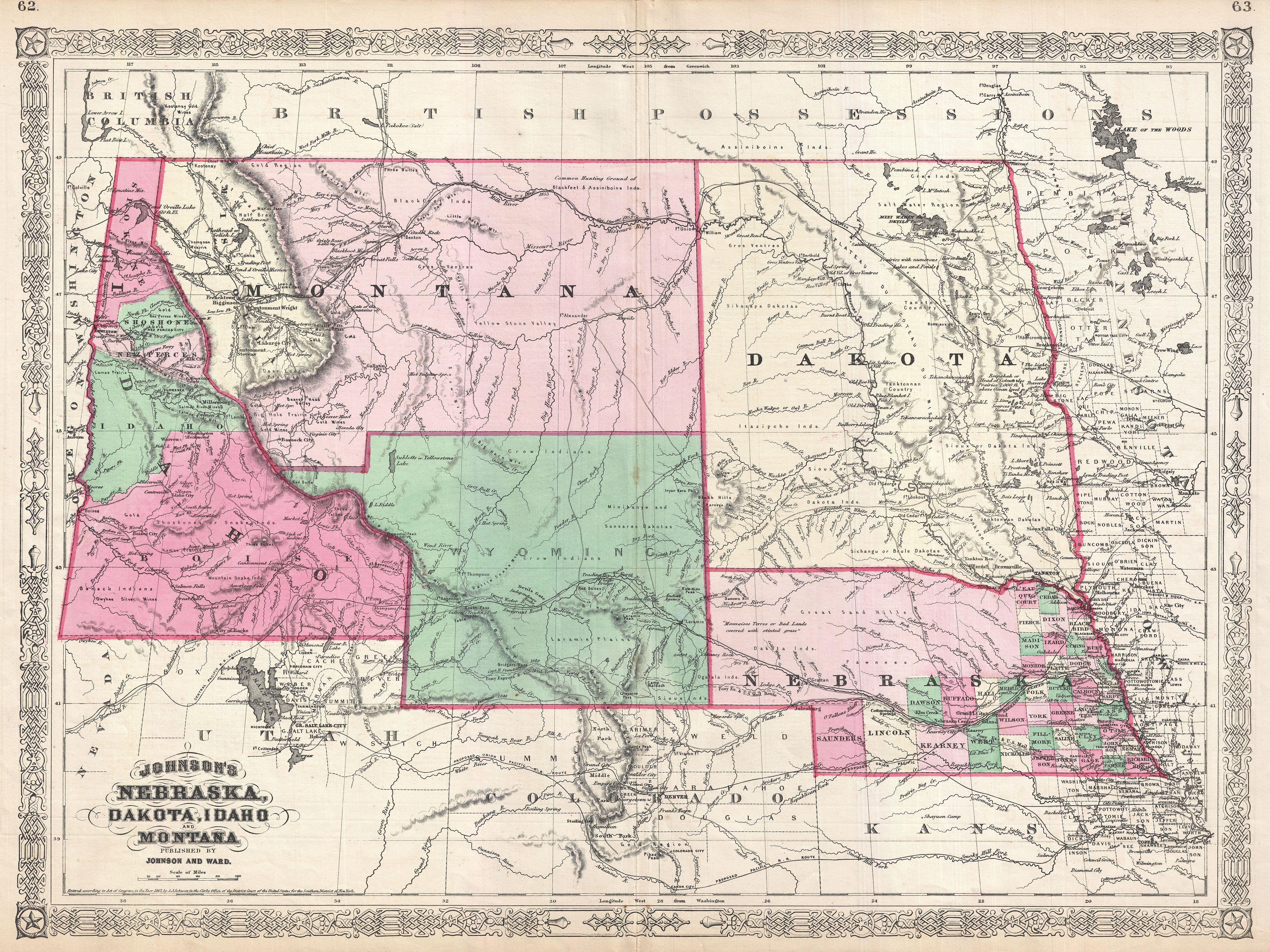
Johnson Map of Montana Wyoming Idaho Nebraska and Dakota Geographicus WyomingMontanaIdahojohnson. This is Johnson and Ward significant map of the Idaho Montana Wyoming Dakota and Nebraska Johnson first introduced this map in to accommodate renewed interested in this region following the close of the American Civil War During