
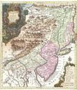
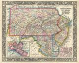
Related Images


Download:
| Tiny | 206x128 | View | Download |
| Small | 413x256 | View | Download |
| Medium | 827x512 | View | Download |
| Original | 1260x780 | View | Download |
This image was acquired from
wikimedia. It was marked as Public Domain or CC0 and is free to use. To verify, go to the source and check the information there.
Looking for more info about this image?
Try a Google Reverse Image Search for it.
Try a Google Reverse Image Search for it.
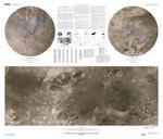
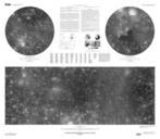
Keywords from Image Description:
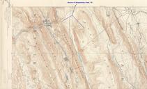
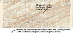
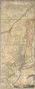
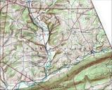
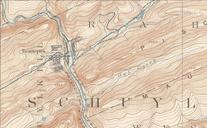
Tamaqua Pennsylvania Topography USGS Hazleton Quadrant Map of hzltsw. Tammaqua Pennsylvania confluence of the Schuylkill River showing Tamaqua Gap separating Nesquehoning Mountain to the east and Sharp Mountain to the west hr related br File Sharp Mountain NE peaks USGS Mahanoy Pennsylvania Quadrant SE mahase PDUSGS USGS PDUSGov