
Related Images

Download:
| Tiny | 123x128 | View | Download |
| Small | 247x256 | View | Download |
| Medium | 494x512 | View | Download |
| Large | 989x1024 | View | Download |
| Original | 3251x3363 | View | Download |
This image was acquired from
wikimedia. It was marked as Public Domain or CC0 and is free to use. To verify, go to the source and check the information there.
Looking for more info about this image?
Try a Google Reverse Image Search for it.
Try a Google Reverse Image Search for it.
Keywords from Image Description:
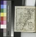
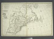
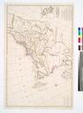
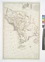
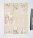
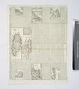
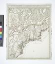
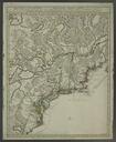
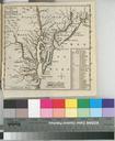
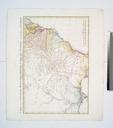
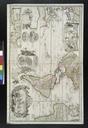
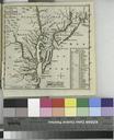
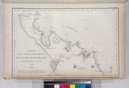
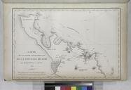
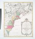
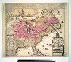
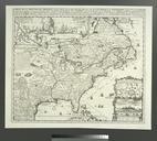
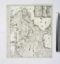
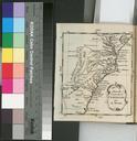
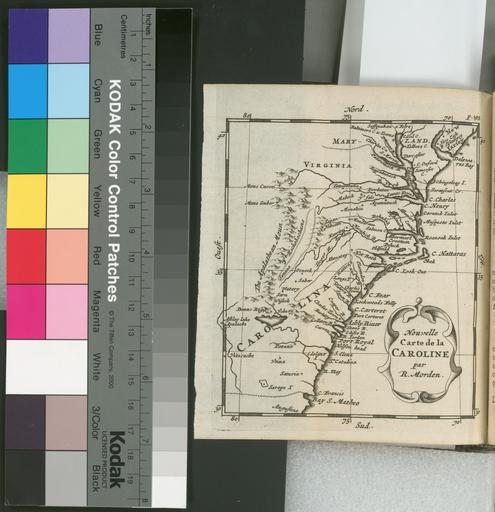
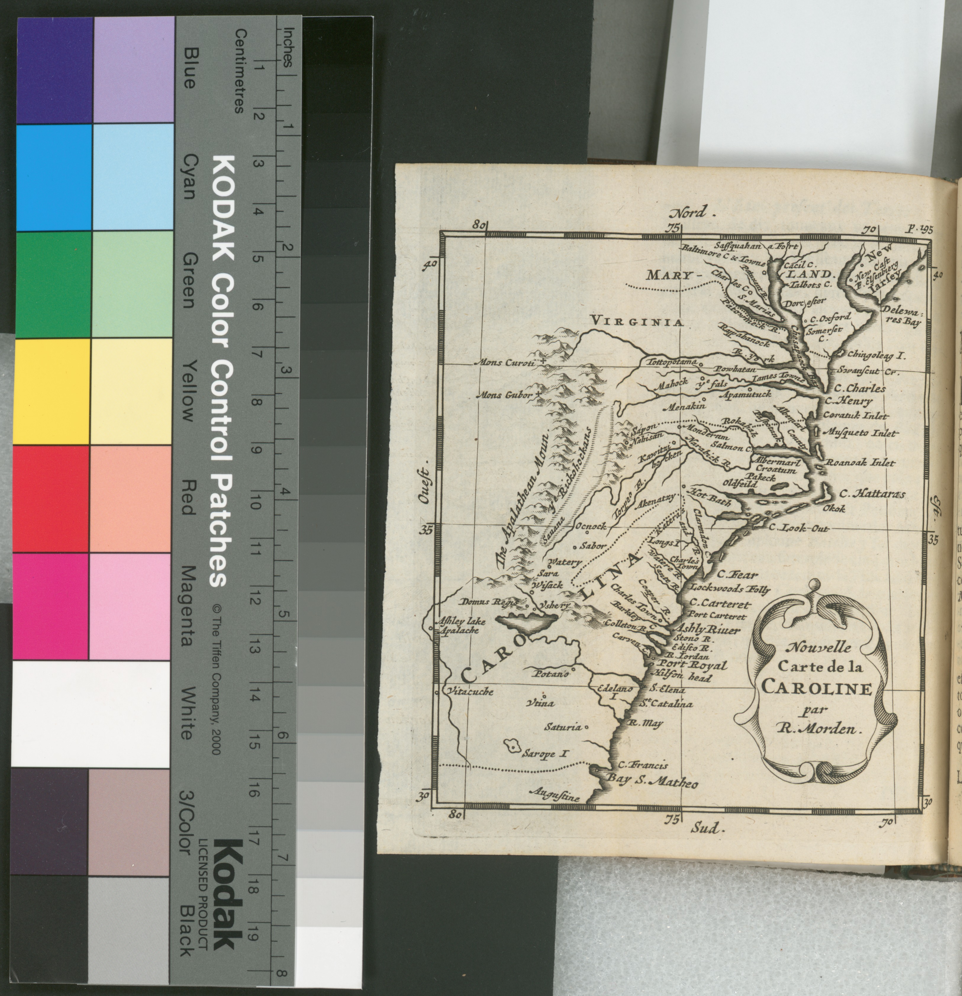
Nouvelle carte de la Caroline NYPL b. en Covers Atlantic states of from southern to northern Fla In upper right margin Lawrence Slaughter Collection National Endowment for the Humanities Grant for Access to Early Maps of the Middle Atlantic Seaboard Relief shown pictorially nypl org Scan by NYPL Nouvelle carte de la Caroline Wolfgang