
Related Images

Download:
| Tiny | 214x128 | View | Download |
| Small | 429x256 | View | Download |
| Medium | 858x512 | View | Download |
| Large | 1716x1024 | View | Download |
| Original | 12058x7192 | View | Download |
This image was acquired from
wikimedia. It was marked as Public Domain or CC0 and is free to use. To verify, go to the source and check the information there.
Looking for more info about this image?
Try a Google Reverse Image Search for it.
Try a Google Reverse Image Search for it.
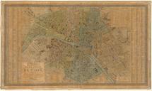
Keywords from Image Description:
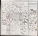
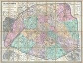
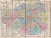
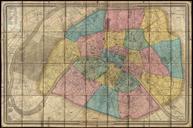
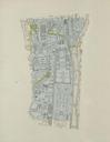
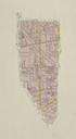
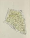
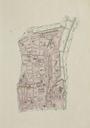
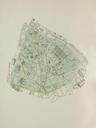
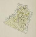
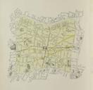
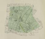
Paris map of published by Goujon and Andriveau Gallica. LargeImage editor Goujonbr ucfirst en map of Paris first published in ed and considerably augmented in Size cm object history exhibition history credit line accession number place of creation bnf fr langEN Gallica Maps of Paris in the th century thcentury maps of