
Related Images

Download:
| Tiny | 134x128 | View | Download |
| Small | 268x256 | View | Download |
| Medium | 536x512 | View | Download |
| Large | 1073x1024 | View | Download |
| Original | 8000x7629 | View | Download |
This image was acquired from
wikimedia. It was marked as Public Domain or CC0 and is free to use. To verify, go to the source and check the information there.
Looking for more info about this image?
Try a Google Reverse Image Search for it.
Try a Google Reverse Image Search for it.
Keywords from Image Description:
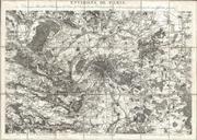
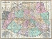
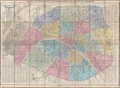
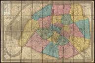
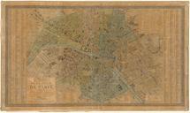
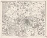
Andriveau Goujon Map of Paris and Environs France Geographicus Parisandriveau. LargeImage Large format folding map of Paris and its vicinity dating to Covers from Argenteuil in the northwest to the Foret de Bondy in the northeast and from the Bois de Verrieres in the southwest to Bois Notre Dame in the southeast Offers extraordinary