
Related Images


Download:
| Tiny | 193x128 | View | Download |
| Small | 386x256 | View | Download |
| Medium | 772x512 | View | Download |
| Large | 1544x1024 | View | Download |
| Original | 7030x4660 | View | Download |
This image was acquired from
wikimedia. It was marked as Public Domain or CC0 and is free to use. To verify, go to the source and check the information there.
Looking for more info about this image?
Try a Google Reverse Image Search for it.
Try a Google Reverse Image Search for it.
Keywords from Image Description:
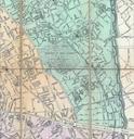
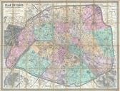
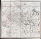
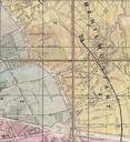
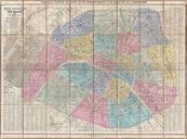
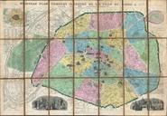
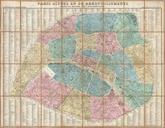
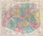
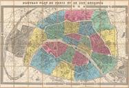
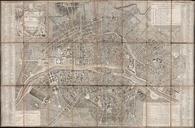
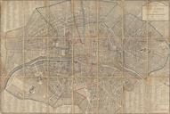
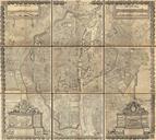
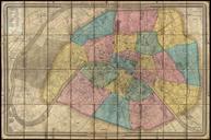
Andriveau Goujon Folding Wall Map of Paris France Geographicus ParisGeometralandriveaugoujon. stunning achievement this map by AndriveauGoujon is the largest folding map of Paris we have ever encountered Measuring some inches this massive plan covers from Saint Cloud to Charenton inclusive of the full curve of the Seine the