Related Images


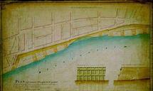


Download:
| Tiny | 85x128 | View | Download |
| Small | 170x256 | View | Download |
| Medium | 341x512 | View | Download |
| Original | 430x644 | View | Download |
This image was acquired from
wikimedia. It was marked as Public Domain or CC0 and is free to use. To verify, go to the source and check the information there.
Looking for more info about this image?
Try a Google Reverse Image Search for it.
Try a Google Reverse Image Search for it.
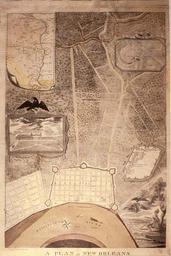
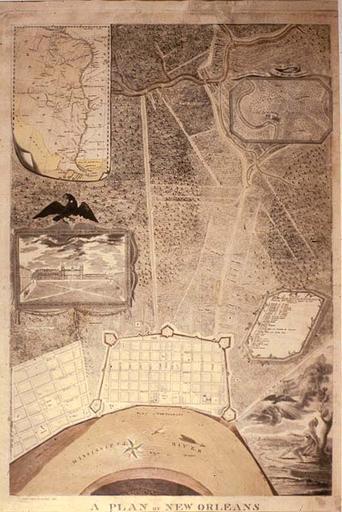
Keywords from Image Description:
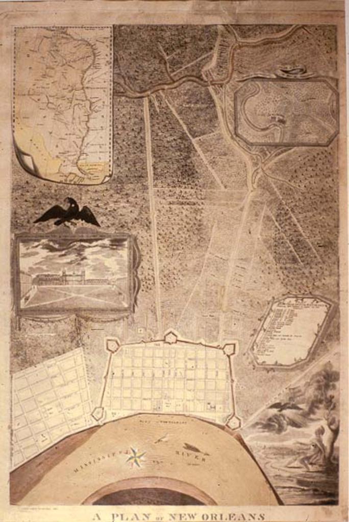
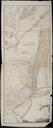
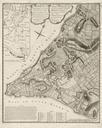
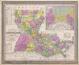
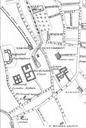
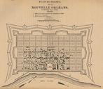
PlanNewOrleansBoquetadeWoiseri. map Plan of New Orleans its Environs Containing Fathoms in Length by Inserts show map position of the city on the Mississippi River and view of Place d'Arms Jackson Square St Louis Cathedral Map by John Boqueta de Woiseri via Louisiana State Museum website crt state la us asp page John Boqueta