
Related Images


Download:
| Tiny | 156x128 | View | Download |
| Small | 312x256 | View | Download |
| Medium | 625x512 | View | Download |
| Large | 1250x1024 | View | Download |
| Original | 3664x3000 | View | Download |
This image was acquired from
wikimedia. It was marked as Public Domain or CC0 and is free to use. To verify, go to the source and check the information there.
Looking for more info about this image?
Try a Google Reverse Image Search for it.
Try a Google Reverse Image Search for it.
Keywords from Image Description:
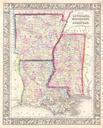
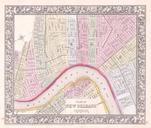
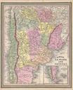
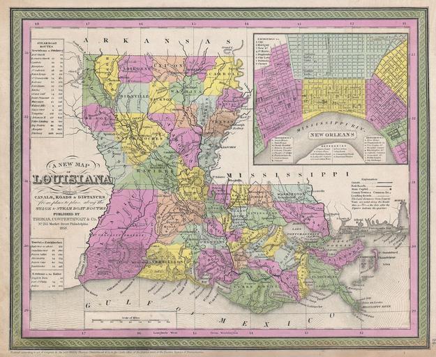
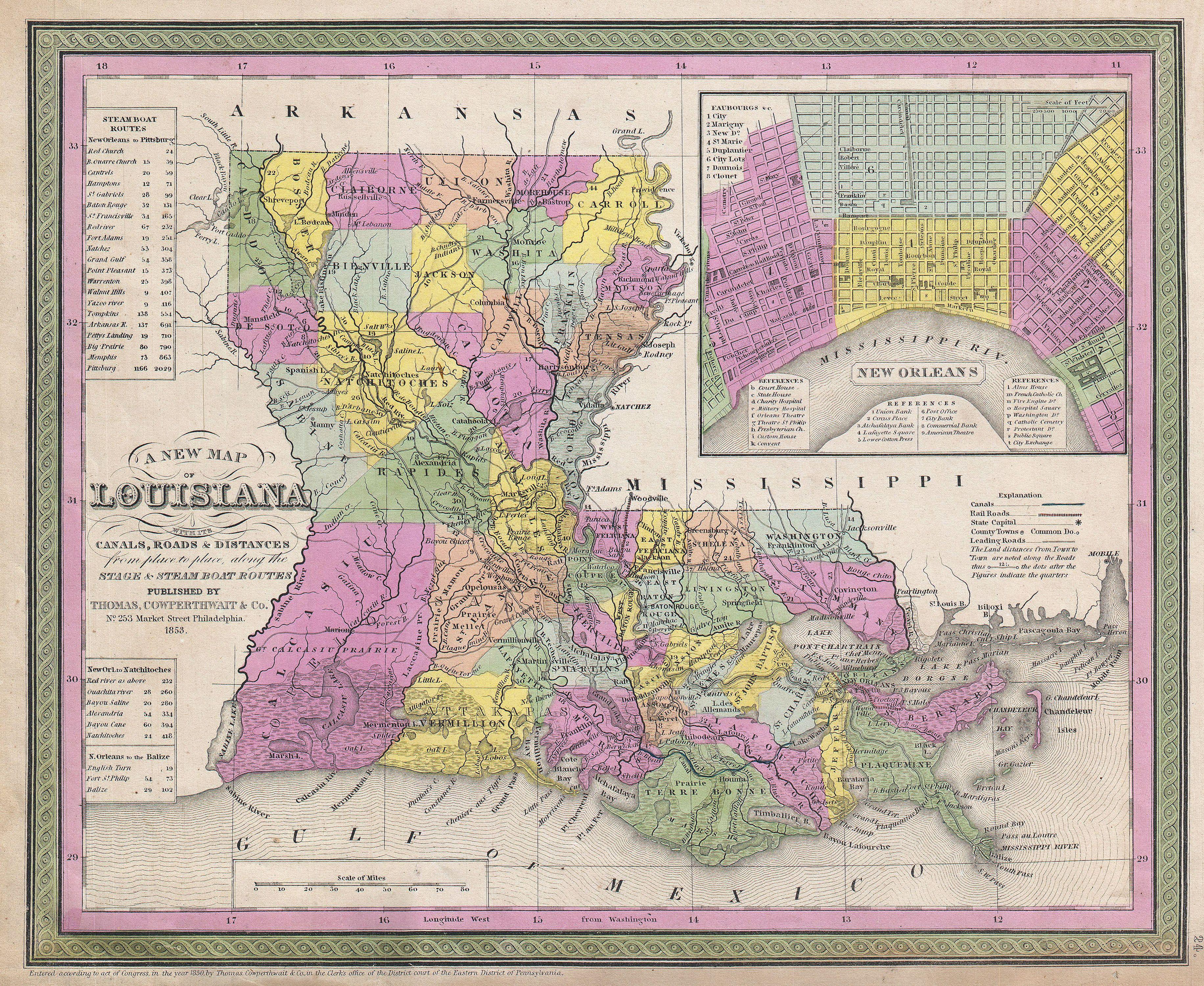
Mitchell Map of Louisiana Geographicus LAmitchell. An extremely attractive example of Mitchell Sr map of Louisiana Depicts the entire state color coded according to individual counties Shows canals and roads with notations regarding steamboat and overland mileage large inset in the upper right hand quadrant offers detailed city