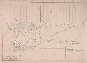
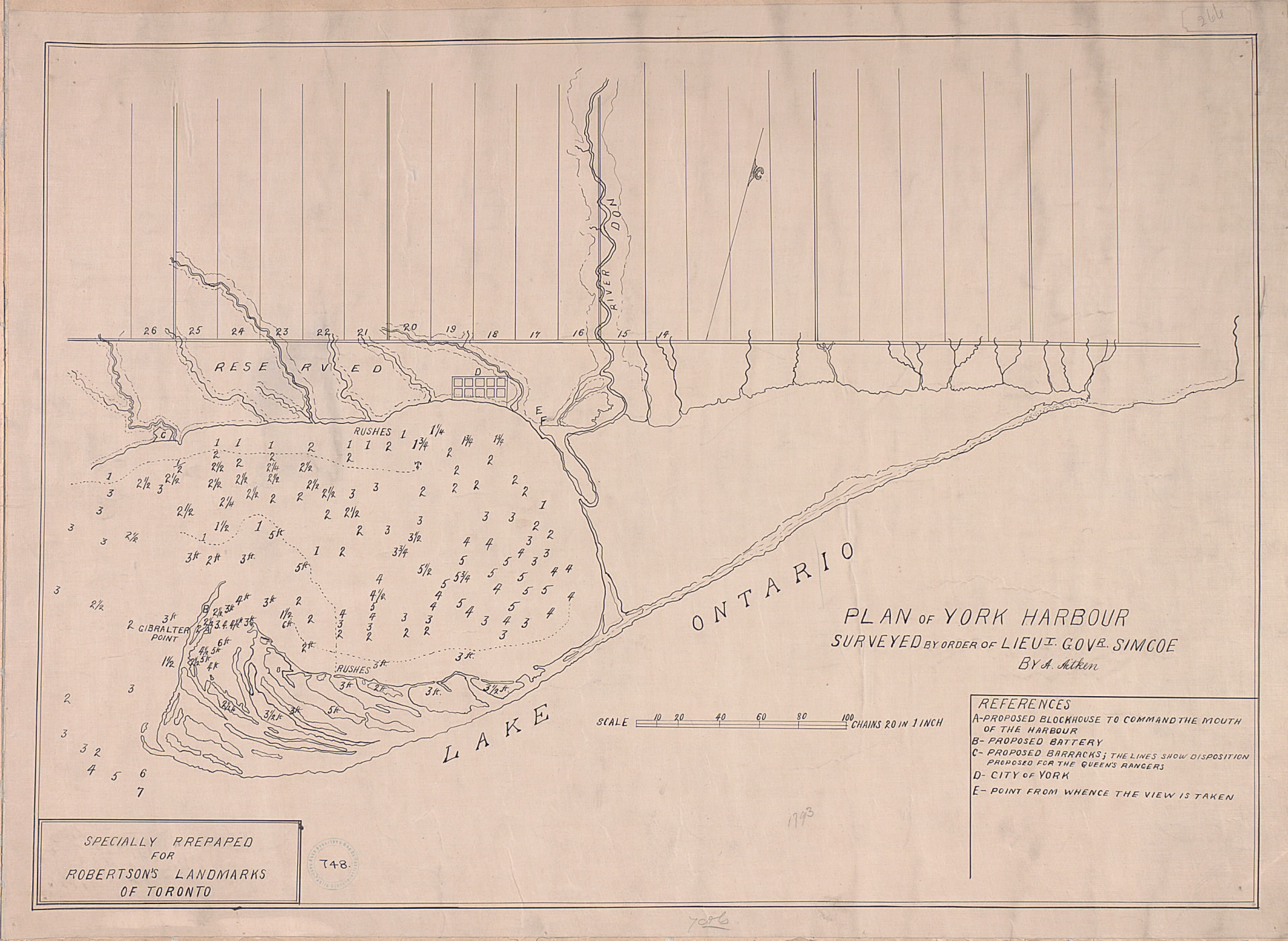
Related Images


Download:
| Tiny | 175x128 | View | Download |
| Small | 350x256 | View | Download |
| Medium | 700x512 | View | Download |
| Large | 1401x1024 | View | Download |
| Original | 1920x1403 | View | Download |
This image was acquired from
wikimedia. It was marked as Public Domain or CC0 and is free to use. To verify, go to the source and check the information there.
Looking for more info about this image?
Try a Google Reverse Image Search for it.
Try a Google Reverse Image Search for it.
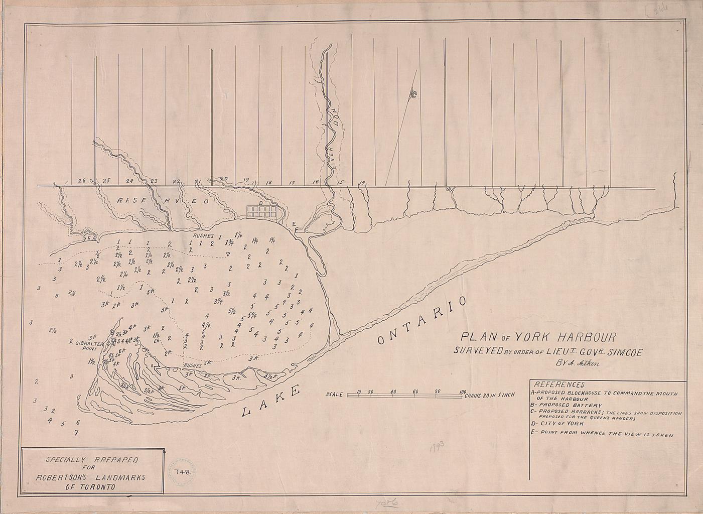
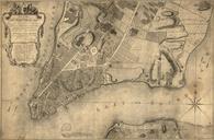
Keywords from Image Description:
Plan of York harbour surveyed by order of Lieut. Govr. Simcoe by A. Aitken. Toronto Harbour noting the site for the city of York Upper Canada ten blocks labelled with 'D' The proposed site for Fort York is labelled with 'C' at the mouth of the stream furthest to the left The Don River is also marked torontopubliclibrary ca jsp