
Related Images


Download:
| Tiny | 243x128 | View | Download |
| Small | 487x256 | View | Download |
| Medium | 974x512 | View | Download |
| Original | 1216x639 | View | Download |
This image was acquired from
wikimedia. It was marked as Public Domain or CC0 and is free to use. To verify, go to the source and check the information there.
Looking for more info about this image?
Try a Google Reverse Image Search for it.
Try a Google Reverse Image Search for it.
Keywords from Image Description:
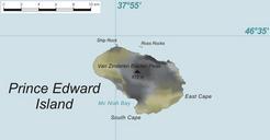
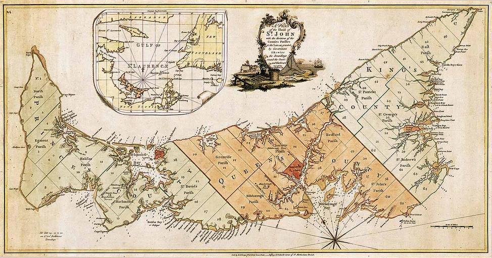
Prince Edward Island map . Map of Prince Edward Island in Titled plan of the island of St John with the divisions of the counties parishes the lots as granted by government likewise the soundings round the coast and harbours Surveyed by Capt Holland The island was the first of the new English colonies for which general survey was