
Related Images


Download:
| Tiny | 117x128 | View | Download |
| Small | 235x256 | View | Download |
| Medium | 470x512 | View | Download |
| Original png | 500x544 | View | Download |
| Original as jpg | 500x544 | View | Download |
This image was acquired from
wikimedia. It was marked as Public Domain or CC0 and is free to use. To verify, go to the source and check the information there.
Looking for more info about this image?
Try a Google Reverse Image Search for it.
Try a Google Reverse Image Search for it.
Keywords from Image Description:
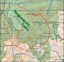
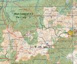
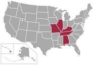
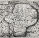
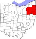
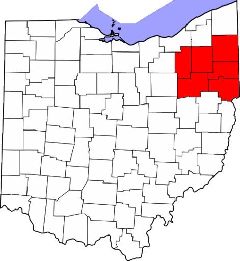
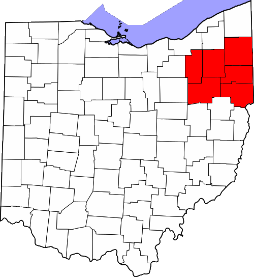
Polymer Valley Map. Map of the state of Ohio United States highlighting Polymer Valley referring to ohiohistorycentral org article in Ohio History Central by Ohio History Connection Based on File Map of Ohio highlighting Summit County svg and modified by Yassie The original map has been created ad published into public domain by