
Related Images


Download:
| Tiny | 81x128 | View | Download |
| Small | 162x256 | View | Download |
| Medium | 325x512 | View | Download |
| Large | 650x1024 | View | Download |
| Original | 3603x5672 | View | Download |
This image was acquired from
wikimedia. It was marked as Public Domain or CC0 and is free to use. To verify, go to the source and check the information there.
Looking for more info about this image?
Try a Google Reverse Image Search for it.
Try a Google Reverse Image Search for it.
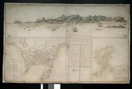
Keywords from Image Description:
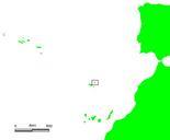
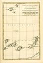
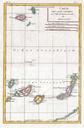
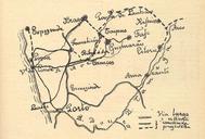
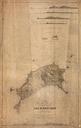
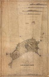
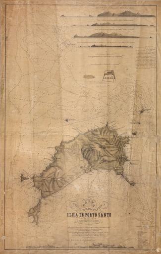
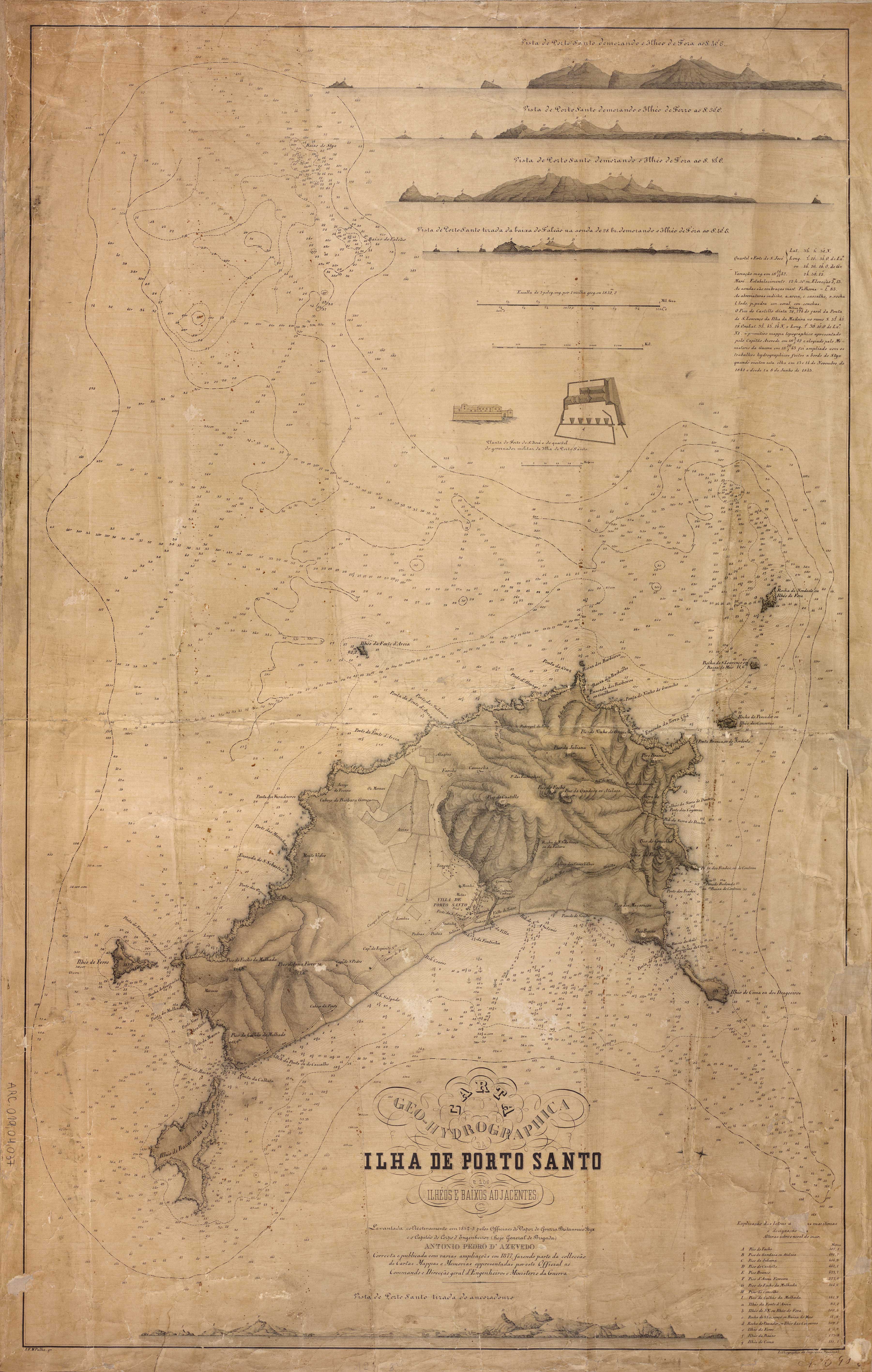
Porto Santo map. InteractiveViewer en map of Porto Santo Island near Madeira Portugal's island in the Atlantic Ocean titled Carta GeoHydrographica da Ilha de Porto Santo dos Ilhos Baixos adjacentes bn br bn br Creator Antnio Pedro de Azevedo Joo de Moura Fradique fl other versions PDold Maps of Porto Santo Antnio Pedro de