Related Images


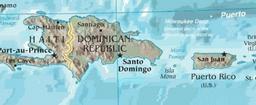

Download:
| Tiny | 173x128 | View | Download |
| Small | 347x256 | View | Download |
| Medium | 694x512 | View | Download |
| Large | 1389x1024 | View | Download |
| Original | 5000x3685 | View | Download |
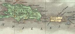
This image was acquired from
wikimedia. It was marked as Public Domain or CC0 and is free to use. To verify, go to the source and check the information there.
Looking for more info about this image?
Try a Google Reverse Image Search for it.
Try a Google Reverse Image Search for it.
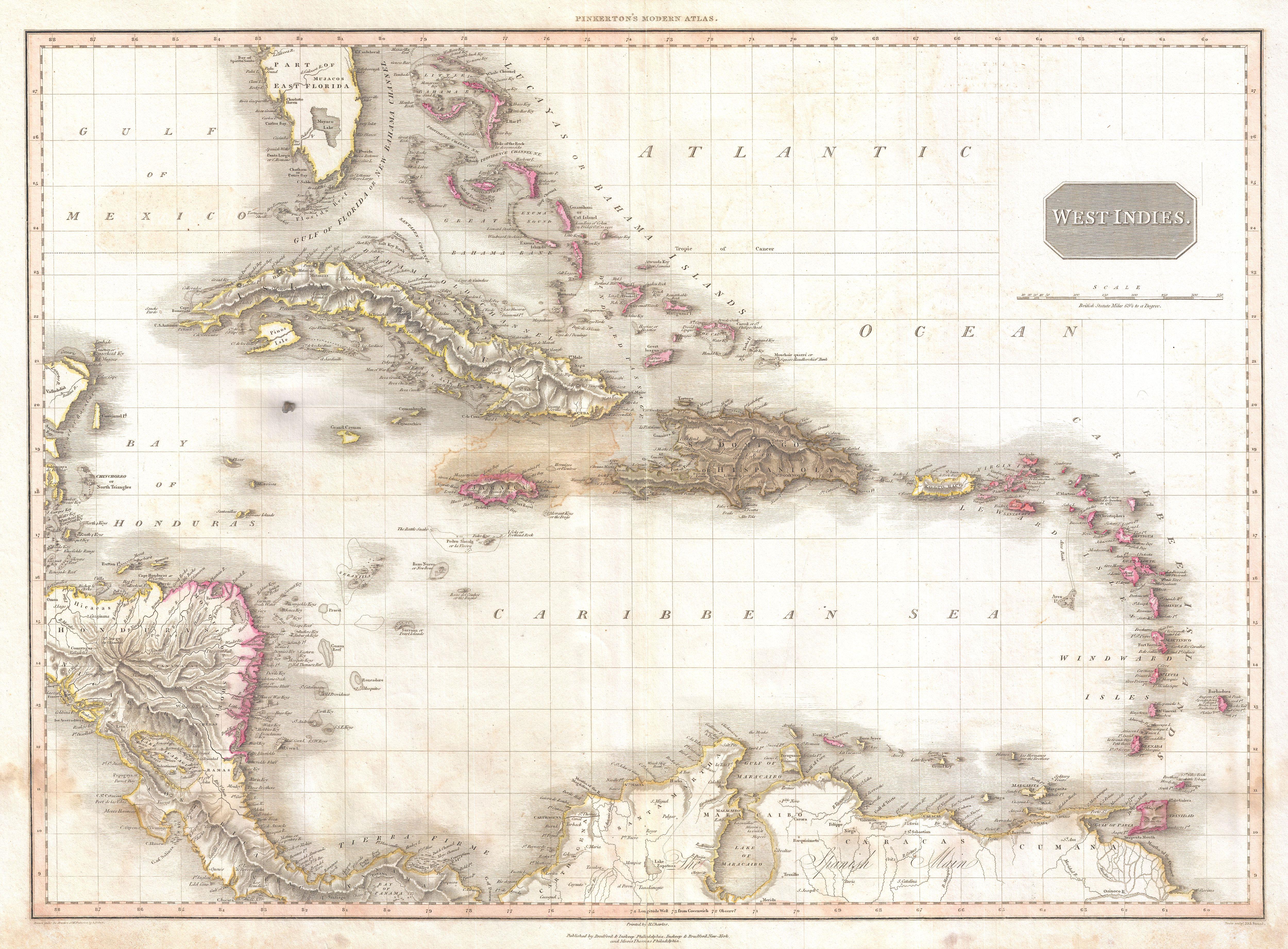
Keywords from Image Description:
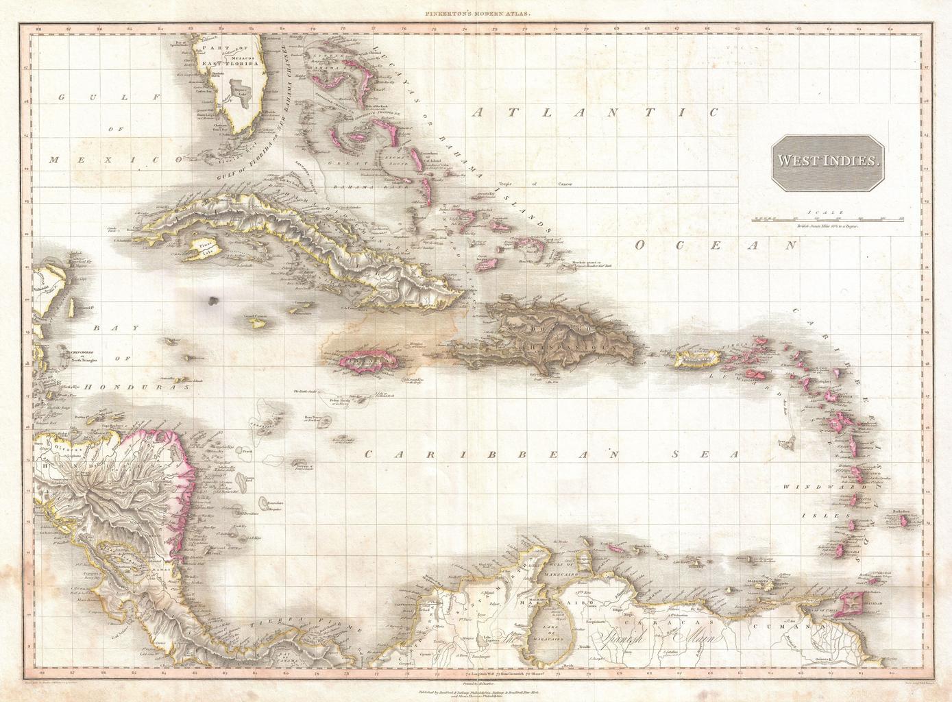
Pinkerton Map of the West Indies Antilles and Caribbean Sea Geographicus WestIndiespinkerton. Extraordinary large format map of the West Indies published in by cartographer John Pinkerton Centered on the island of Hispaniola or Santo Domingo this map covers from the Bay of Honduras to the Windward Isles and from Florida and the