Related Images


Download:
| Tiny | 172x128 | View | Download |
| Small | 344x256 | View | Download |
| Medium | 688x512 | View | Download |
| Large | 1376x1024 | View | Download |
| Original | 3500x2604 | View | Download |
This image was acquired from
wikimedia. It was marked as Public Domain or CC0 and is free to use. To verify, go to the source and check the information there.
Looking for more info about this image?
Try a Google Reverse Image Search for it.
Try a Google Reverse Image Search for it.
Keywords from Image Description:
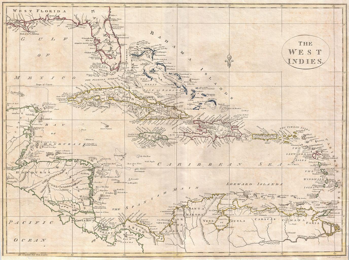
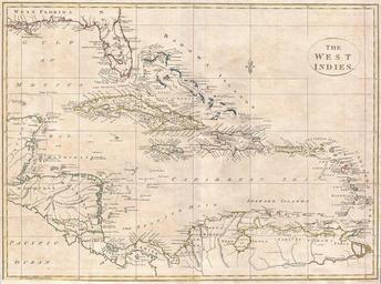
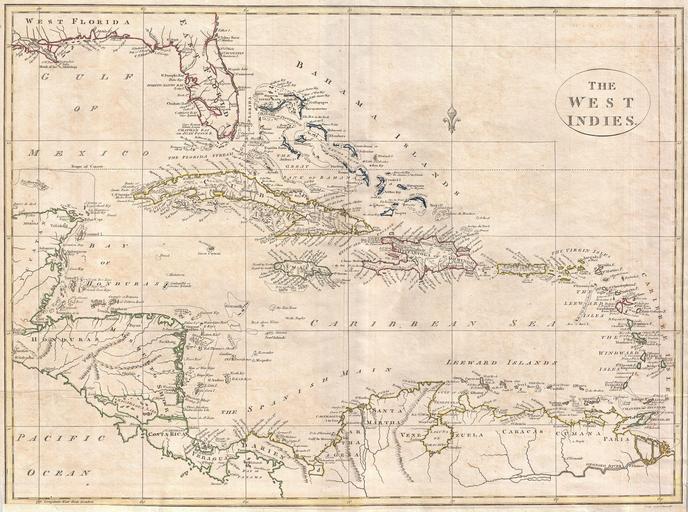
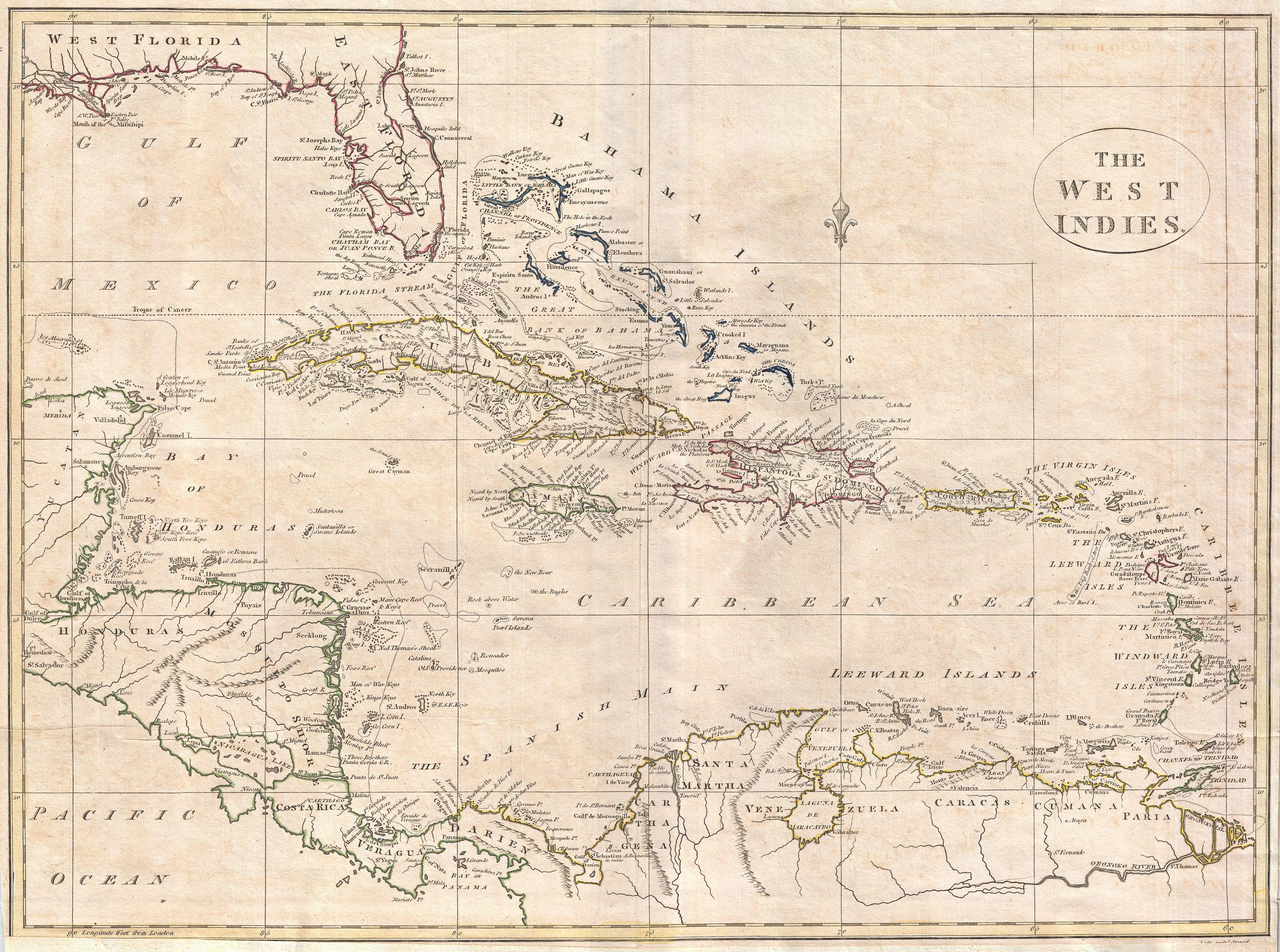
Clement Cruttwell Map of West Indies Geographicus WestIndiescruttwell. fine map of the West Indies by the English mapmaker Clement Cruttwell Shows what was then known as West and East Florida along with the Bahamas Islands Cuba Jamaica Domingo and Puerto Rico Porto Rico Further southeast are the Virgin Islands the Leeward and