Related Images


Download:
| Tiny | 148x128 | View | Download |
| Small | 296x256 | View | Download |
| Medium | 593x512 | View | Download |
| Large | 1187x1024 | View | Download |
| Original | 6000x5175 | View | Download |
This image was acquired from
wikimedia. It was marked as Public Domain or CC0 and is free to use. To verify, go to the source and check the information there.
Looking for more info about this image?
Try a Google Reverse Image Search for it.
Try a Google Reverse Image Search for it.
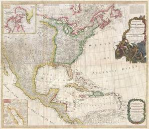
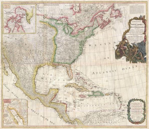
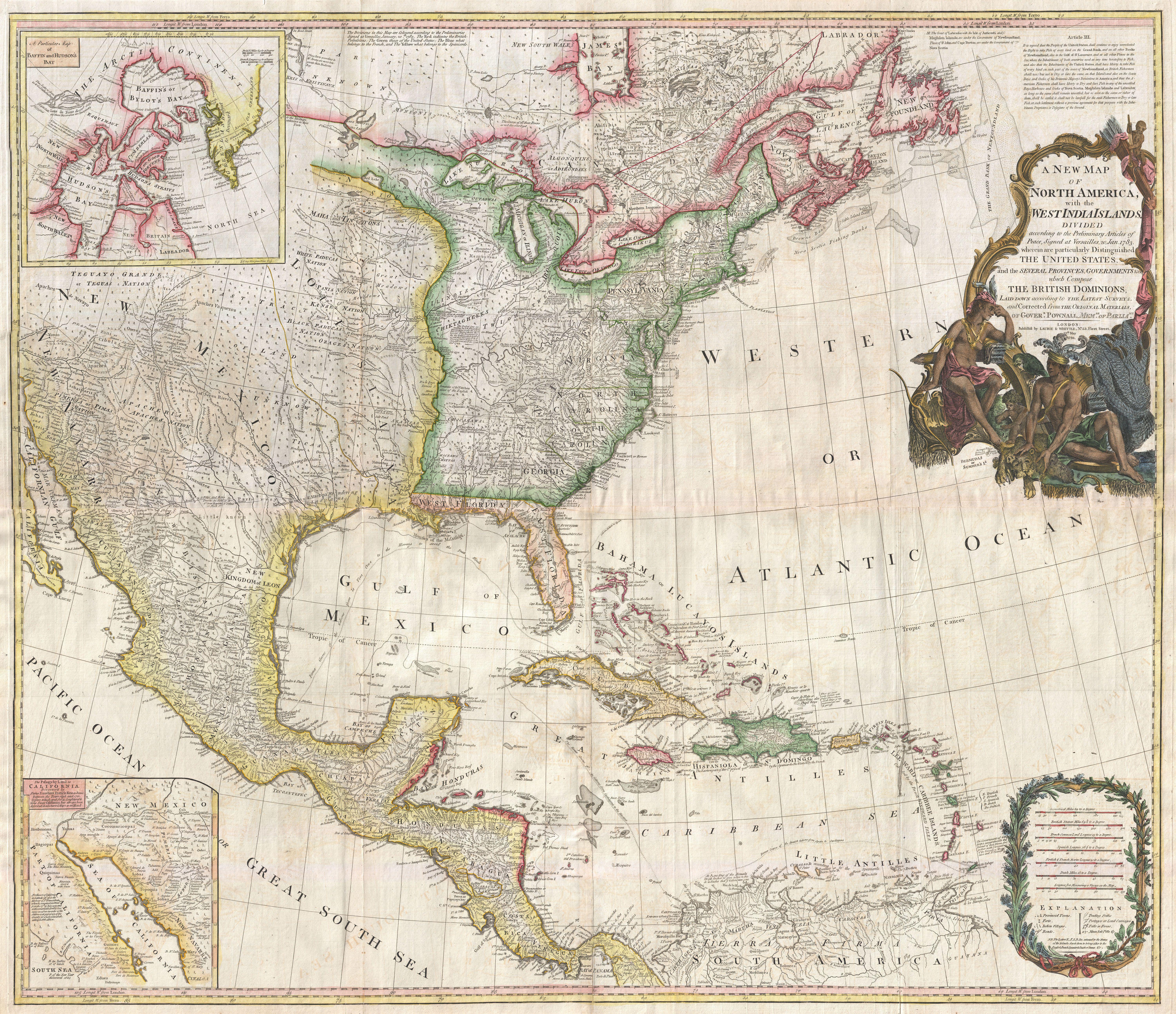
Keywords from Image Description:
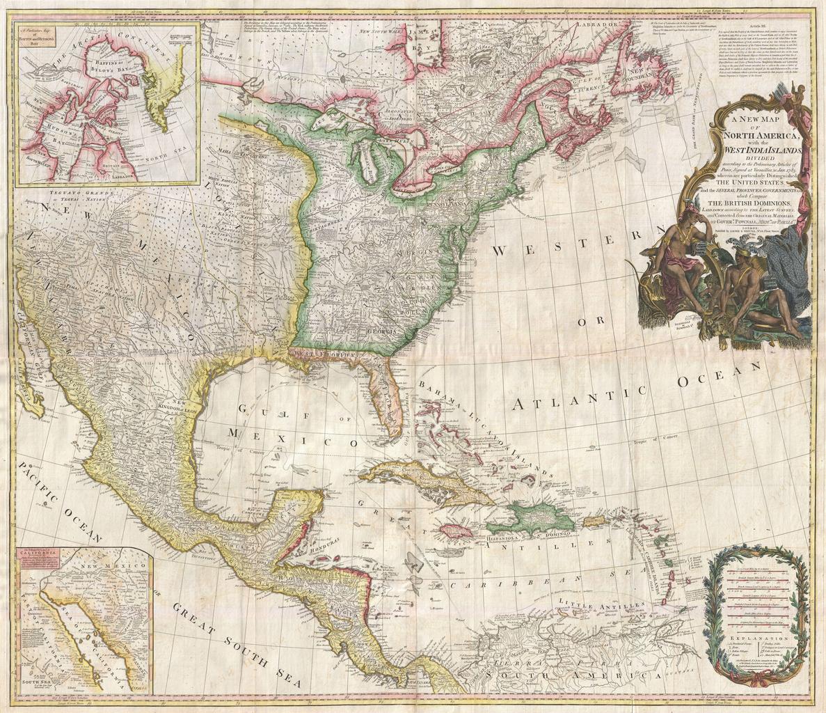
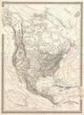
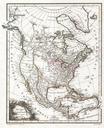
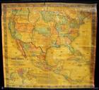
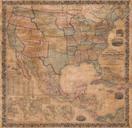
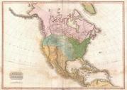
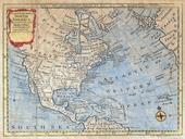
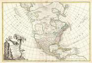
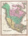
Pownell Wall Map of North America and the West Indies Geographicus NorthAmericapownall. An extraordinary monumentally proportioned map of North American by Governor Pownell Issued shortly after the end of the American Revolutionary War this map details the newly formed United States the British dominions in Canada the French