
Related Images


Download:
| Tiny | 163x128 | View | Download |
| Small | 327x256 | View | Download |
| Medium | 655x512 | View | Download |
| Large | 1311x1024 | View | Download |
| Original | 4658x3636 | View | Download |
This image was acquired from
wikimedia. It was marked as Public Domain or CC0 and is free to use. To verify, go to the source and check the information there.
Looking for more info about this image?
Try a Google Reverse Image Search for it.
Try a Google Reverse Image Search for it.
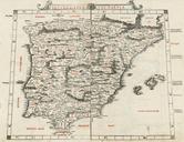
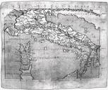
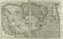
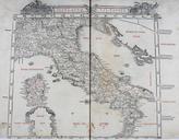
Keywords from Image Description:
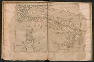
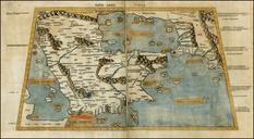
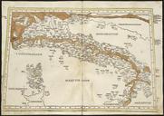
Sexta Europae Tabula. In sexta TabulaItaliaCyrnos seu Corsica insula en The sixth Asian map depicting Roman Italy from the Venetian edition of Ptolemy's Geography edited by Bernardus Sylvanus Evoliensis Bernardo da Silva of Eboli and published by Jacobus Pentius de Leucho Jacopo Pencio of Leccho org Claudius Ptolemaeus's Book on