Related Images


Download:
| Tiny | 163x128 | View | Download |
| Small | 327x256 | View | Download |
| Medium | 654x512 | View | Download |
| Original | 775x606 | View | Download |
This image was acquired from
wikimedia. It was marked as Public Domain or CC0 and is free to use. To verify, go to the source and check the information there.
Looking for more info about this image?
Try a Google Reverse Image Search for it.
Try a Google Reverse Image Search for it.
Keywords from Image Description:
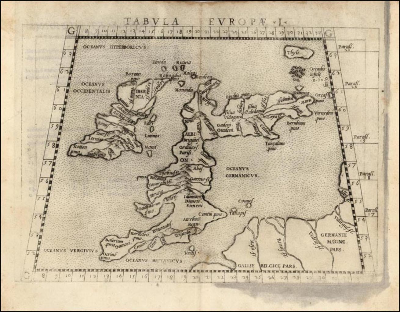
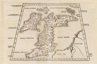
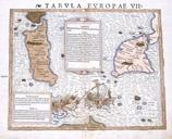
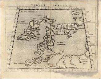
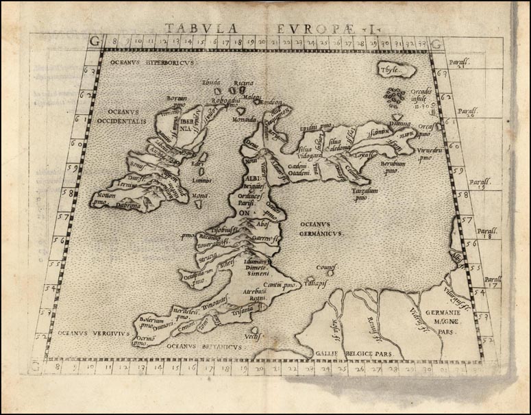
Tabula Europae . en The First Map of Europe depicting the British Isles from Girolamo Ruscelli's first edition of Ptolemy's Geography printed at Venice raremaps html BL Ruderman Antique Maps Ptolemy other versions File Tabula Europae ed PDold maps Maps in Latin Maps by Girolamo Ruscelli Europe Ptolemy's st European Map