
Related Images


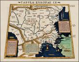
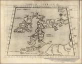
Download:
| Tiny | 165x128 | View | Download |
| Small | 331x256 | View | Download |
| Medium | 663x512 | View | Download |
| Large | 1327x1024 | View | Download |
| Original | 2051x1582 | View | Download |
This image was acquired from
wikimedia. It was marked as Public Domain or CC0 and is free to use. To verify, go to the source and check the information there.
Looking for more info about this image?
Try a Google Reverse Image Search for it.
Try a Google Reverse Image Search for it.
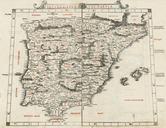
Keywords from Image Description:
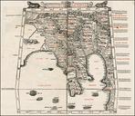
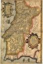
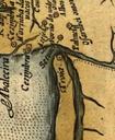
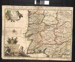
Secunda Europae Tabula Espaa Baleares Portugal por Bernardus Sylvanus. The Second European Map Secunda Europae Tabula en Fine example of Sylvanus' map of Spain the Balearic Island and Portugal one of the earliest obtainable maps of the region and the first printed in two colors Sylvanus' map of the Iberian Peninsula is one of the