Related Images


Download:
| Tiny | 227x128 | View | Download |
| Small | 455x256 | View | Download |
| Original png | 800x450 | View | Download |
| Original as jpg | 800x450 | View | Download |
This image was acquired from
wikimedia. It was marked as Public Domain or CC0 and is free to use. To verify, go to the source and check the information there.
Looking for more info about this image?
Try a Google Reverse Image Search for it.
Try a Google Reverse Image Search for it.
Keywords from Image Description:
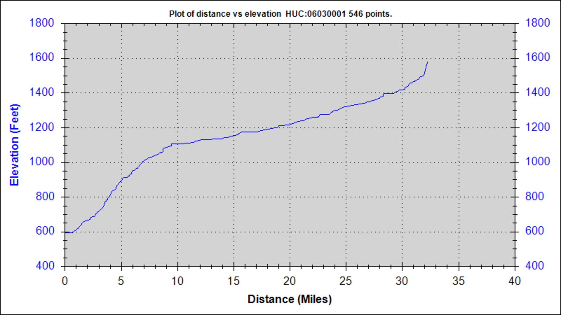
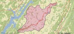
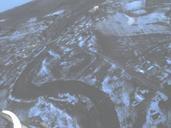
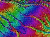
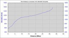
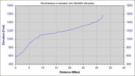
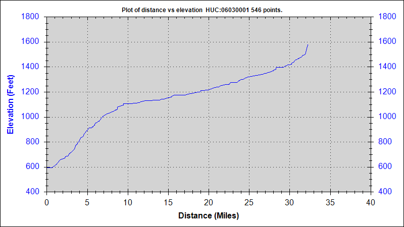
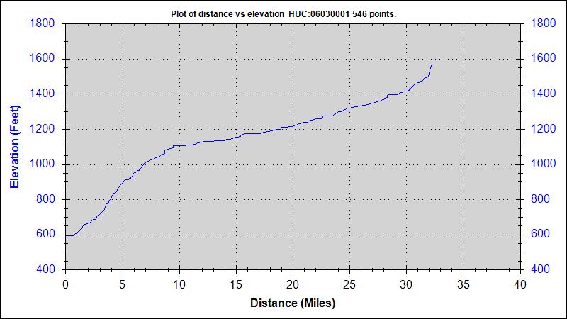
South Sauty Creek Elevation Profile. en This map was created using USGS StreamStats software Information generated by this software is considered public domain according to the USGS information policies cited here usgs gov html Geological Survey Geological Survey other versions PDUSGov Rivers of Alabama Uploaded with