
Related Images


Download:
| Tiny | 106x128 | View | Download |
| Small | 212x256 | View | Download |
| Medium | 424x512 | View | Download |
| Original | 751x906 | View | Download |
This image was acquired from
wikimedia. It was marked as Public Domain or CC0 and is free to use. To verify, go to the source and check the information there.
Looking for more info about this image?
Try a Google Reverse Image Search for it.
Try a Google Reverse Image Search for it.
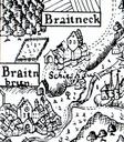
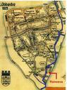
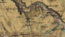
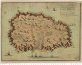
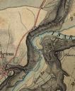
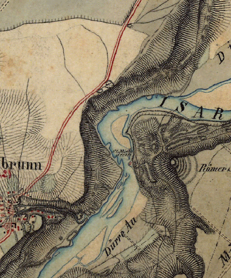
Keywords from Image Description:
St. MichaelsteinHistorische Karte. de Historische Karte aus dem Gebiet um den Georgenstein hier ist nur der Michaelstein als St Mich Stein rund Meter unterhalb des greren Georgensteins eingezeichnet bei Baierbrunn Landkreis Mnchen Bayern geodaten bayern de cgi Kingdom of Bavaria Surveying Maps and Coats of arms in Grnwald Maps