Download:
| Tiny | 80x128 | View | Download |
| Small | 161x256 | View | Download |
| Medium | 322x512 | View | Download |
| Large | 645x1024 | View | Download |
| Original tiff | 2787x4423 | View | Download |
| Original as jpg | 2787x4423 | View | Download |
This image was acquired from
wikimedia. It was marked as Public Domain or CC0 and is free to use. To verify, go to the source and check the information there.
Looking for more info about this image?
Try a Google Reverse Image Search for it.
Try a Google Reverse Image Search for it.
Keywords from Image Description:
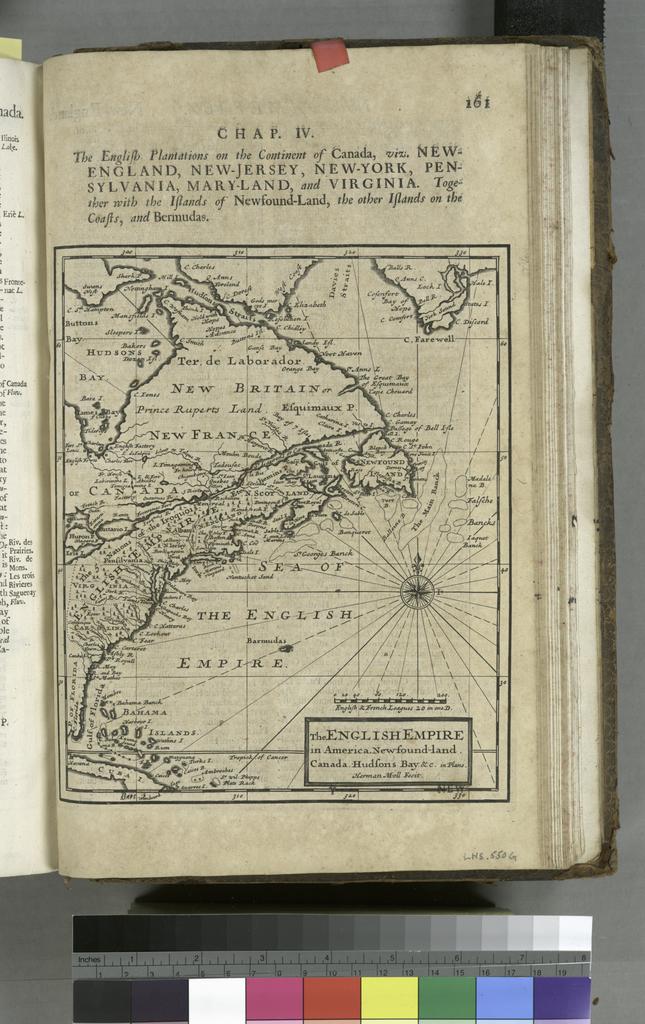
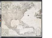
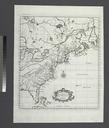
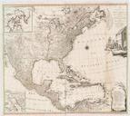
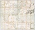
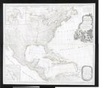
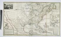
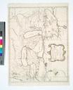
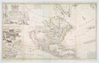
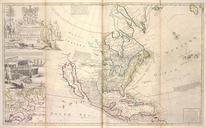
The English empire in America Newfoundland Canada Hudsons Bay etc in plano Herman Moll fecit. NYPL. of the earth in all its empires kingdoms and states illustrated with history and topography and maps of every country fairly engraven on copper according to the latest discoveries and corrections by Herman Moll pts in ill maps
