
Related Images


Download:
| Tiny | 150x128 | View | Download |
| Small | 301x256 | View | Download |
| Medium | 602x512 | View | Download |
| Large | 1204x1024 | View | Download |
| Original | 2730x2320 | View | Download |
This image was acquired from
wikimedia. It was marked as Public Domain or CC0 and is free to use. To verify, go to the source and check the information there.
Looking for more info about this image?
Try a Google Reverse Image Search for it.
Try a Google Reverse Image Search for it.
Keywords from Image Description:
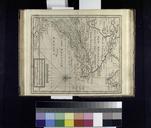
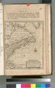
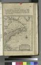
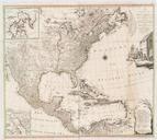
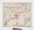
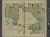
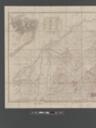
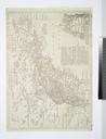
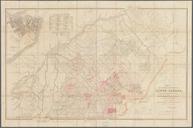
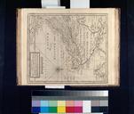
The English empire in America Newfoundland Canada Hudsons Bay c. in plano NYPL b. en National Endowment for the Humanities Grant for Access to Early Maps of the Middle Atlantic Seaboard Added illustrated engraved folded Includes Advertisement table of longitudes and table of the maps contained in this volume Lawrence Slaughter Collection